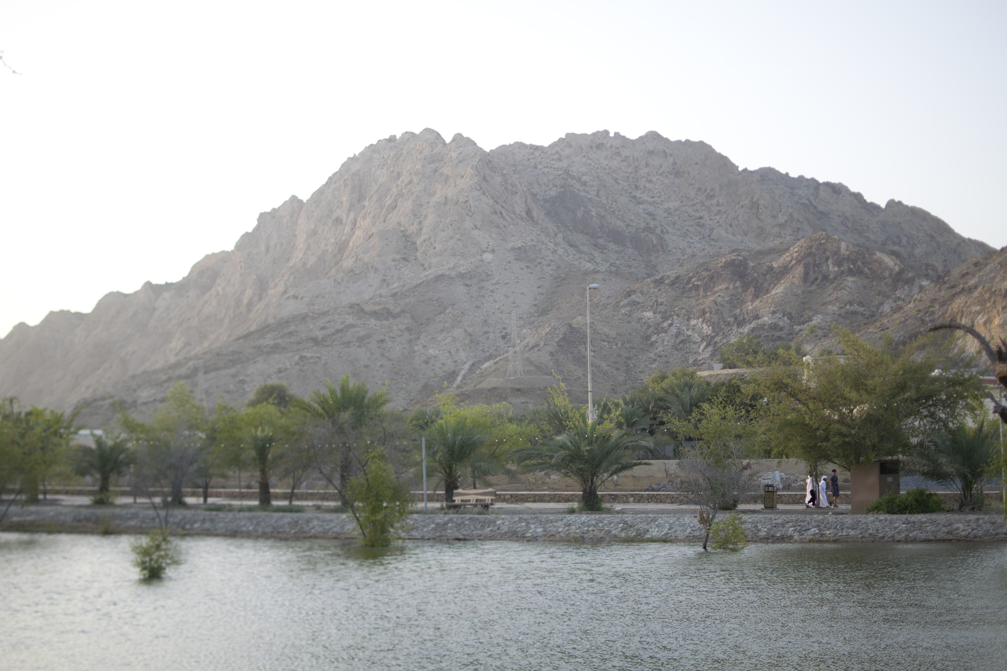
Masfout or Hatta: choosing your mountain escape
Masfout (also written Masfoot) is an inland exclave of Ajman in the Hajar Mountains, close to Hatta, which belongs to Dubai. Combine mountain scenery and Masfout’s heritage stops with a route appropriate to your experience; neither destination has a single universal hiking distance or difficulty.
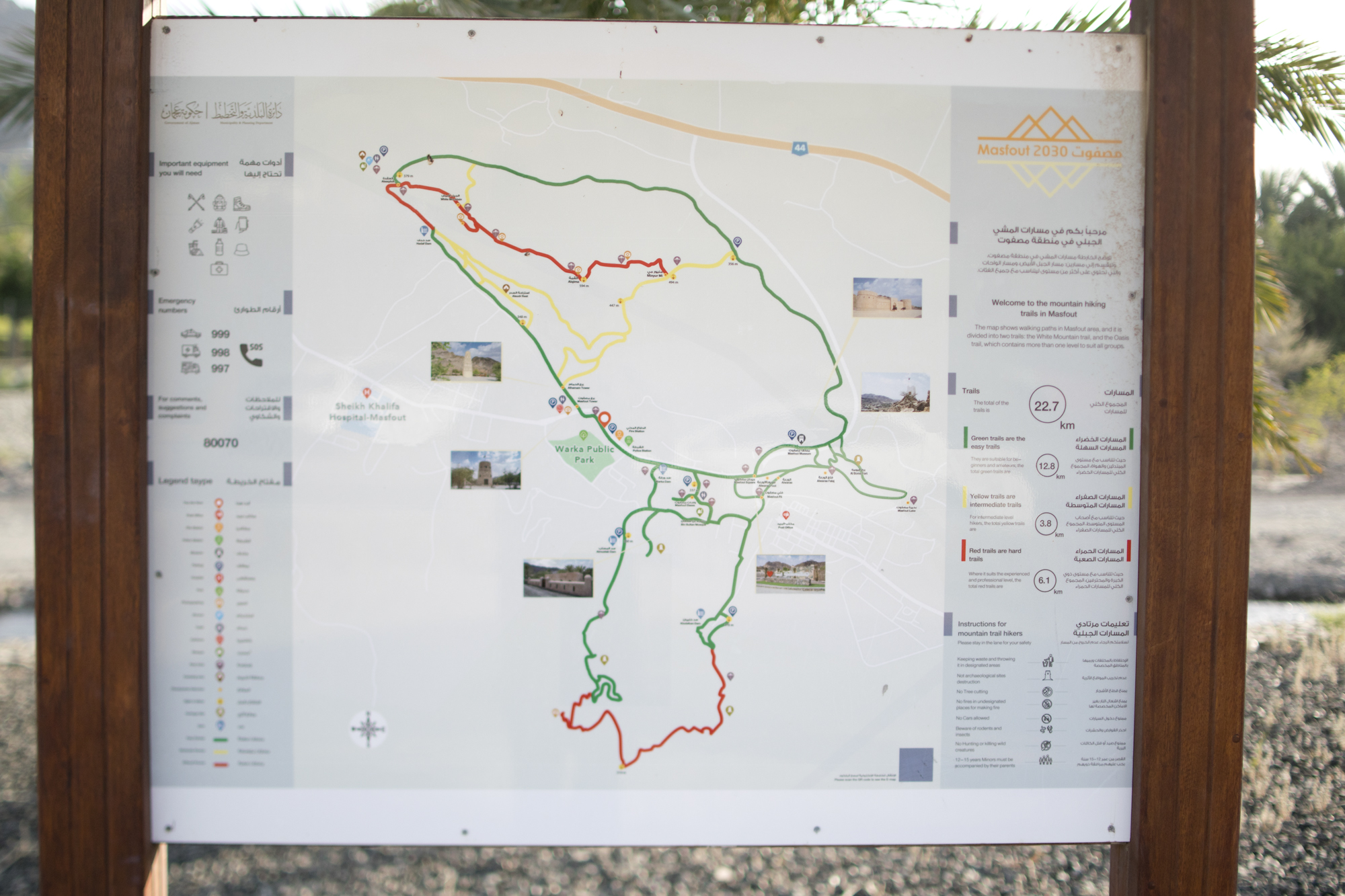
The earlier guide contrasts Hatta’s graded trails with Masfout’s wadi walks and rugged ridgelines. Masfout outings may range from short valley walks to demanding half-day ascents over loose rock and scree, with limited shade. However, it is inaccurate to describe the whole area as having no signage or visitor infrastructure: the photographed route board below is one example. Check access and facilities for your precise route.
Offline maps from services such as Wikiloc or AllTrails can assist planning, but a user-uploaded track does not establish public access, current trail condition, or safety. Do not rely on phone reception or one device. For first-time visitors, start with a short, clearly marked route or a suitable guide.
Accessibility: Main approaches are paved, but many trails are uneven, rocky, and steep. Verify step-free access and facilities for a specific visitor site; a paved road does not imply an accessible hiking route. Park without obstructing roads, farms, gates, or residents.
Route names from the earlier guide: “Dam Rim Trail” (about 3 km, green), “Heritage Trail” (about 6 km, blue), and “Mountain Ridge Climb” (about 9 km, red) were supplied as examples. These names, lengths, and colour assignments are not confirmed current official routes. Use the latest Hatta map instead of following those descriptions as directions. Hatta’s designated toilet and shower facilities are mentioned by its official visitor guidance; confirm availability before relying on them.
Planning your first Masfout and Hatta trip
Masfout and Hatta offer mountain scenery, walking routes, and cultural stops within reach of Dubai. This detailed guide brings together travel planning, local history, trail grades, equipment, and a day-trip schedule. Use it alongside current official maps, weather warnings, access information, and advice appropriate to your chosen route.
Logistics, seasons and pre-trip planning
1. Climate and Seasonal Planning: The Hajar Calendar
The mountain climate is dramatically different from the coast, sometimes offering cooler conditions than Dubai, but it presents its own dangers.
- The Optimal Window (High Season): November through April. During this period, the draft’s high-teens to low-twenties (°C) daytime range may describe some cool days, but temperatures can be substantially higher; check the forecast for your exact destination. Nights, particularly on exposed ridges in January and February, can become distinctly cold.
- Shoulders of Season (Moderate): October and the warmer days toward the end of the cool season, including March and April. These months offer a transition period, but preparation for unpredictable weather is mandatory.
- The Danger Period (Low Season): May through September. These months are strongly discouraged for any demanding hiking. Daytime high temperatures can exceed 35°C, even at altitude, resulting in extreme risk of heat stroke, dehydration, and rapid fatigue.
- Climate Extremes in Brief: Elevation can moderate temperatures, but it does not make exposed trails safe in hot weather, but the dry, rugged environment means rapid exposure to intense UV radiation. Mist is possible in the wadis during early mornings.
2. Transportation: Reaching the Escape
Accessing Masfout and Hatta requires careful planning, as the destinations are remote exclaves.
- 🚗 By Car (STRONGLY RECOMMENDED): This is the most practical and flexible method. Allow roughly 90 minutes from Dubai as a planning estimate, with extra time for traffic and your precise start point. Choose a current UAE-road route to the exact destination rather than relying on a single highway number. The Sharjah–Kalba Road (E102) is one approach to the wider region; the earlier draft’s label “Dubai–Hatta Road (E66)” should not be used as navigation guidance. It is important to anticipate that while local roads are paved, the terrain transitioning toward Masfout involves steep gradients and switchbacks. A 4x4 vehicle is not strictly necessary for the main routes, but it provides a significant advantage for navigating the initial, less-maintained tracks into the deeper parts of the mountains. Always fuel up before leaving urban areas.
- 🚌 By Public Transport (Limited): Public transport exists but is time-consuming and indirect. RTA lists the H02 Hatta Express from Dubai Mall Bus Station to Hatta Bus Station, operating every two hours between 7 AM and 7 PM. While cost-effective (approx. AED 25), the fixed schedule does not align with the organic pace of a hiking expedition. Allow generous time and check the last return service; this option is not a good fit for a tight dawn-hiking schedule. RTA also lists H03 between Hatta Bus Station and Masfoot Residential Building, so the earlier claim that onward travel always requires private transport is too broad. Check the current H03 timetable and the distance from its stops to your actual trailhead. RTA timetables and the RTA route list provide the service information.
- 🚕 Taxis and Guided Tours: Intercity taxi and ride-hailing services (Uber/Careem) are available but are highly expensive, with the draft estimating AED 200–300 one way; this is not a verified current fare, so obtain a quote and arrange a return pickup. For maximal peace of mind and logistical ease, consider utilizing a professional guided tour operator based in Dubai. These companies manage transport, often provide certified local guides, and coordinate permits (where applicable).
3. Emergency and Weather Planning: Survival Briefing
This is the most critical section. The Hajar Mountains, especially the wadi systems, are unpredictable environments.
- Hydration planning: The draft suggests 2 litres for a half-day and 2–3 litres of carrying capacity, but these are not universal minimums or guarantees of an adequate supply. Plan water and a reserve for the actual route, duration, weather, and your needs; shorten the hike if you cannot carry enough. Do not follow a fixed rule of drinking 1 litre every hour and doubling it above 20°C: forcing large quantities can cause dangerous overhydration. Drink regularly without forcing excessive amounts, and account for food and electrolytes on prolonged sweaty outings. CDC heat and hydration guidance explains why both dehydration and excessive fluid intake are hazards.
- ⚠️ Flash Flood Protocol: This is the single greatest weather hazard. Wadis—the dry riverbeds you will traverse—can flood instantaneously and violently. NEVER hike or camp in a wadi section after rainfall, regardless of whether the local sky is clear. Always check the National Centre of Meteorology (NCM) forecasts religiously before departure and again that morning. If a flood warning covers the mountains, postpone your trip.
- 🧭 Safety in Navigation (The 4W Rule): Adhere to the 4W Rule: Tell someone Where you are going, When you expect to return, Who you are with, and What route you are taking. Do not rely solely on phone signal. Download offline topographical maps of the Hatta region before leaving.
- 🆘 Emergency Contacts: In an extreme emergency: Call 999 (Police/General Emergency), 998 (Ambulance), or 997 (Civil Defence). Always carry a charged power bank.
Masfout: culture, history and mountain landscapes
While Hatta is the hiking destination, Masfout is the cultural anchor, offering a distinct, critical layer of historical context that transforms a simple 'hike' into an authentic cultural immersion. Masfout is an exclave of Ajman Emirate, and its story is one of mountain resilience distinct from the dominant coastal narrative of the Gulf.
1. The Fort and Its Strategic Role
Masfout Castle (or Fort Masfout) is not just a viewing point; it is a historical document built from local stone and mud.
- Architectural Resilience: The castle is a mountain stronghold built from local stone, mud, and timber. The draft describes thick walls, narrow windows, and a courtyard as defensive and heat-management features; specific interior details should be checked on site. Ajman Tourism describes the castle as two rooms and a gate, and lists Masfout Museum separately.
- Military Necessity: Originally built in the 19th century, its primary role was as a first line of defense. It stood vigil against nomadic groups and bandits attempting to traverse the highlands toward the Sultanate of Oman. The draft also mentions a weaponry room and an ancient cannon, but these exhibits and their current availability have not been confirmed; do not plan your visit around them.
- Modern History: The draft attributes a late-1940s restoration to Sheikh Rashid bin Humaid Al Nuaimi. Confirm the precise date and historical interpretation with local heritage staff; this detail has not been independently established here.
2. The Mountain-Bedouin Way of Life
Masfout Museum provides the essential context that elevates your trip beyond mere scenery. It tells the story of an inland civilization that developed independent of the coastal pearl and trading economies.
- Agricultural Life: Learn about the ancient methods of survival. Masfout was historically rich in agriculture, and ask about traditional tools, date-palm cultivation, and the role of aflaj—complex, ancient water channels that manage scarce mountain runoff.
- Economic Trade: While the coast dealt in pearl diving and maritime trade, Masfout held a different economic power. The draft identifies marble extraction and tobacco trading as local economic themes. Treat these as topics to explore with the museum rather than a verified description of current exhibits. This provides a profound contrast to the more famous Gulf trade routes.
- Cultural Distinctiveness: The culture here is fundamentally Mountain-Bedouin. Traditional dress, communal governance, and specialized crafts are useful themes for understanding a community whose life revolved around the stability and cyclical rhythms of the high-altitude geography, contrasting sharply with the modern Emirati coastal ethos.
The Masfout Insight: Visiting the fort or the area provides crucial perspective. The mountain landscape is defined not just by its steepness, but by the history of the people who had to master that geography to survive.
Hatta hiking routes and trail grades
Hatta offers a professionally structured network of trails, unlike the informal paths surrounding Masfout. The Hatta Wadi Hub serves as the starting point for these graded routes, allowing you to select a challenge appropriate to your fitness level.
1. The Color-Coded Grading System
Visit Hatta currently describes 32.6 km of hiking across five routes. The supplied draft groups terrain by the four grades below; its category totals are planning references, not verified current loop distances. Match the latest official map and signs to your ability. Official Hatta hiking information and map.
- 🟢 Green Trails (Easy):
- Distance: ~5.5 km Total (multiple shorter loops).
- Surface: Wide, well-maintained, sandy, and relatively flat, with very low elevation change.
- Fitness: Ideal for novice walkers, families, or those undertaking their first mountain trek. The minimal difficulty allows for a comfortable exploratory walk while still providing excellent views of the lower valleys.
- 🔵 Blue Trails (Moderate):
- Distance: ~10.5 km Total.
- Surface: More varied, introducing small rocky obstacles and minor technical features. The trails begin to exhibit more defined ascents and descents.
- Fitness: Suitable for intermediate hikers and trail runners with solid stamina. You will feel the commitment of the mountain, but the route remains manageable.
- 🔴 Red Trails (Difficult):
- Distance: ~7.9 km Total.
- Surface: This is where the mountain starts to assert its toughness. The path is rough, narrow, intensely steep, and often characterized by short stone staircases. Technical sections require full focus.
- Fitness: Reserved for experienced and strong hikers. Hiking poles are strongly advised here to aid stability and reduce strain during steep ascents and technical descents.
- ⚫ Black Trails (Severe/Expert):
- Distance: ~8.7 km Total.
- Surface: The commitment is total. These trails possess large, prolonged, and unavoidable technical features. Exposure to heights is significantly increased.
- Fitness: Only for professionals, mountaineers, or extremely fit veteran hikers. Sections may approach routes where hands are required for safety, emphasizing the extreme nature of the endeavor.
2. Trail Specificity and Management
The routes are maintained by the Hatta authorities and are supported by marked signage. The starting point at the Hatta Wadi Hub is where you can consult the current map detailing the elevation profile for each color-coded path. The draft quotes approximately AED 60 for a two-hour guided outing; this price has not been verified. Ask the operator for current availability, guide qualifications, route, group size, price, and what is included. A suitable guided walk can help first-time visitors learn local navigation and safety practices.
Hiking gear checklist and day-trip itinerary
A successful and safe trek requires preparation that goes far beyond a good pair of shoes.
1. Comprehensive Gear Manifest (Down to the Last Detail)
- Footwear: Absolutely non-negotiable. Sturdy, well-fitting hiking boots or suitable high-traction trail shoes matched to the route; avoid sandals or smooth-soled casual footwear. The terrain is unstable, featuring scree, loose rock, and sharp geological features.
- Hydration: The draft proposes a 2–3 litre carrying capacity per person; increase this or shorten the route where the conditions and duration require more, including a reserve. Pre-plan refill points, though reliance on natural sources in the Hajar is risky and should be avoided. Carry purification tablets/filter as a backup contingency.
- Layering: The mountain climate is unpredictable. Pack a moisture-wicking base layer, a high-insulation mid-layer (fleece/down), and a hard outer shell (windproof/water-resistant) for unexpected rain or cold exposure on high ridges.
- Protection: High SPF sunscreen, wide-brimmed hat (high altitude increases UV intensity), and sunglasses.
- Navigation/Safety: Offline topographical map (downloadable PDF), compass, fully charged power bank, and a physical printout of the planned route/check-in list.
- First Aid: A mandatory kit including blister treatment, pain relievers, antiseptic wipes, and emergency wraps.
- Optional but Recommended: Trekking/hiking poles (especially vital for Red/Black trails and steep descents; they save knees and maintain stability on loose rock).
2. The Ideal Day-Trip Schedule
The times below are the draft’s illustrative full-day outline, not a recommended all-day exposed hike for a beginner. For a first visit, choose a short cool-weather morning route, finish before dangerous heat, and use the afternoon for suitable non-hiking stops. Set a turnaround time based on the route, daylight, weather, and the slowest member of the group; turn back earlier whenever needed.
- Pre-Dawn (5:30 AM - 6:30 AM): Final preparation. Hydrate well and eat light, high-energy snacks. Check NCM forecasts and warnings as well as local authority closures and trail-operator advice. Confirm your 4W details with a trusted contact.
- Early Morning Start (6:30 AM - 7:30 AM): Begin the trek. Starting early ensures you tackle the most challenging terrain and cover the majority of the distance before the sun reaches its peak intensity.
- Mid-Morning (7:30 AM - 11:00 AM): Active hiking, focused on the ascent or the most demanding sections. This is when views are typically best, and the ambient temperature is most tolerable.
- Midday (11:00 AM - 2:00 PM): Strategic rest point. This should be when you are nearing or have completed the most taxing sections. Drink appropriately, eat, cool down, and assess conditions. If you feel fatigue, environmental distress, or danger, this is the mandatory turning point.
- Late Afternoon (2:00 PM - 5:00 PM): Completion of the hike or timed reversal. Plan your turnaround time well in advance; fatigue can make the return slower than expected.
- Evening: Return to the base, review the experience, and share your GPS coordinates/notes with your trusted contact.
First-time visitor summary and responsible hiking
Start with a manageable marked route in Hatta or an appropriately guided walk. Build confidence in equipment, navigation, and terrain before attempting remote Masfout ridges. Carry snacks, personal medication, a headlamp, and enough water for the full outing plus delays. Respect farms and villages, follow closures and signs, avoid damaging plants, and carry out all rubbish, including tissues and food packaging. Mountain walking is about returning safely rather than completing a distance at any cost.
Masfout hiking: frequently asked questions
Is Masfout in Dubai or Ajman?
Masfout is an inland exclave of Ajman near Hatta. Hatta is part of Dubai. They are neighbouring destinations, not the same town.
Is Masfout hiking suitable for beginners?
Some shorter walks may suit beginners, but remote ridges and loose-rock terrain require more skill. Choose a clearly identified, permitted route appropriate to your ability, verify conditions, and consider a guide. Hatta’s graded routes provide another starting point.
Can I get to Masfout without a car?
RTA lists H02 from Dubai Mall to Hatta and H03 between Hatta and Masfoot Residential Building. Confirm current timetables, the last return journey, and onward access to your trailhead; a bus stop is not necessarily the start of a hiking route.
Do I need a 4x4?
Not for the main paved approach. Unpaved mountain tracks are a different matter: check the route and vehicle requirements rather than assuming a normal car or a 4x4 can reach every trailhead.
Can I walk in the creeks shown in these photos?
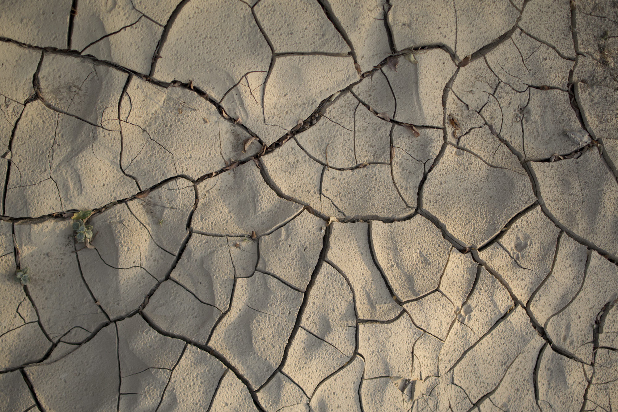
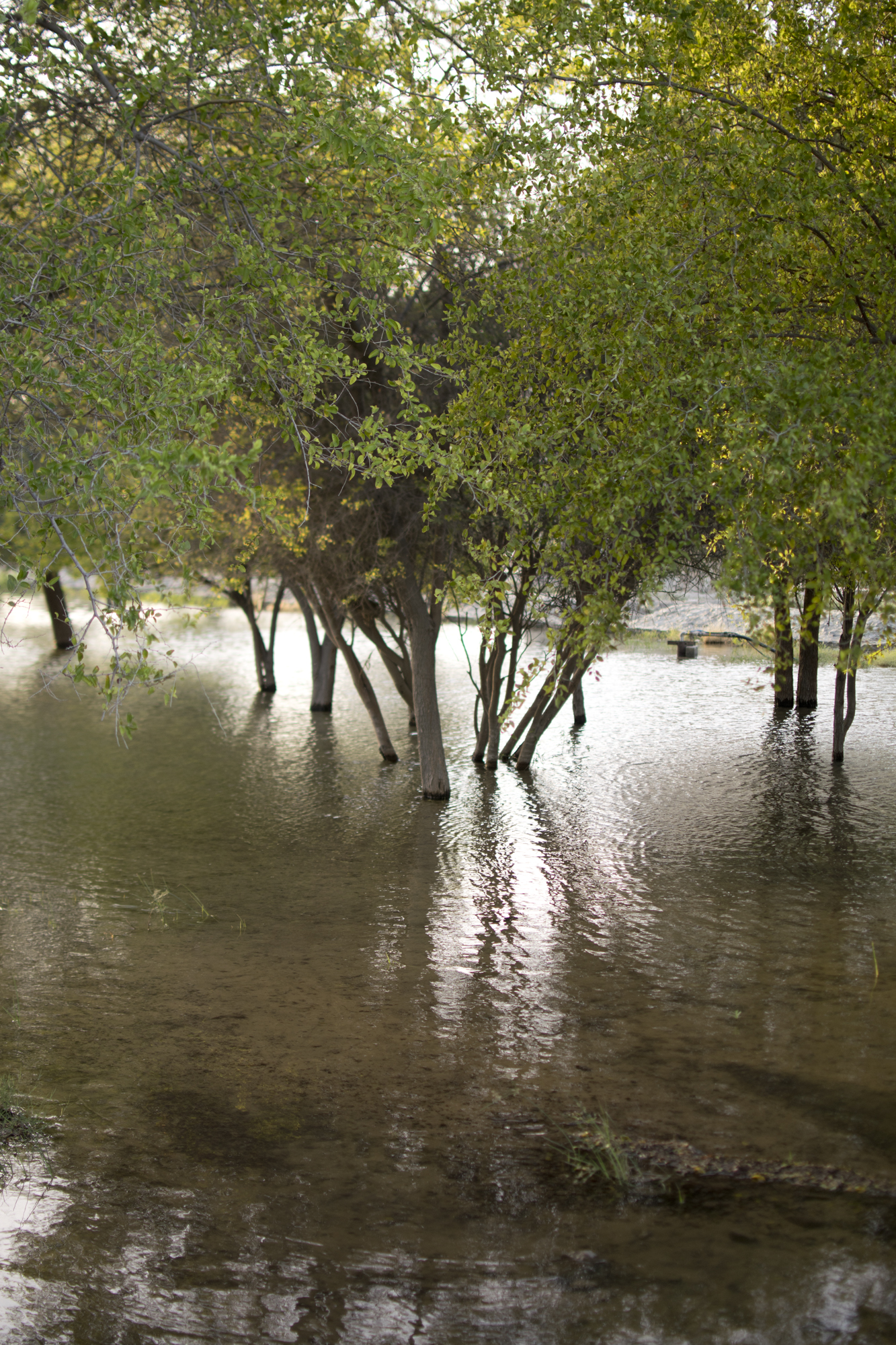
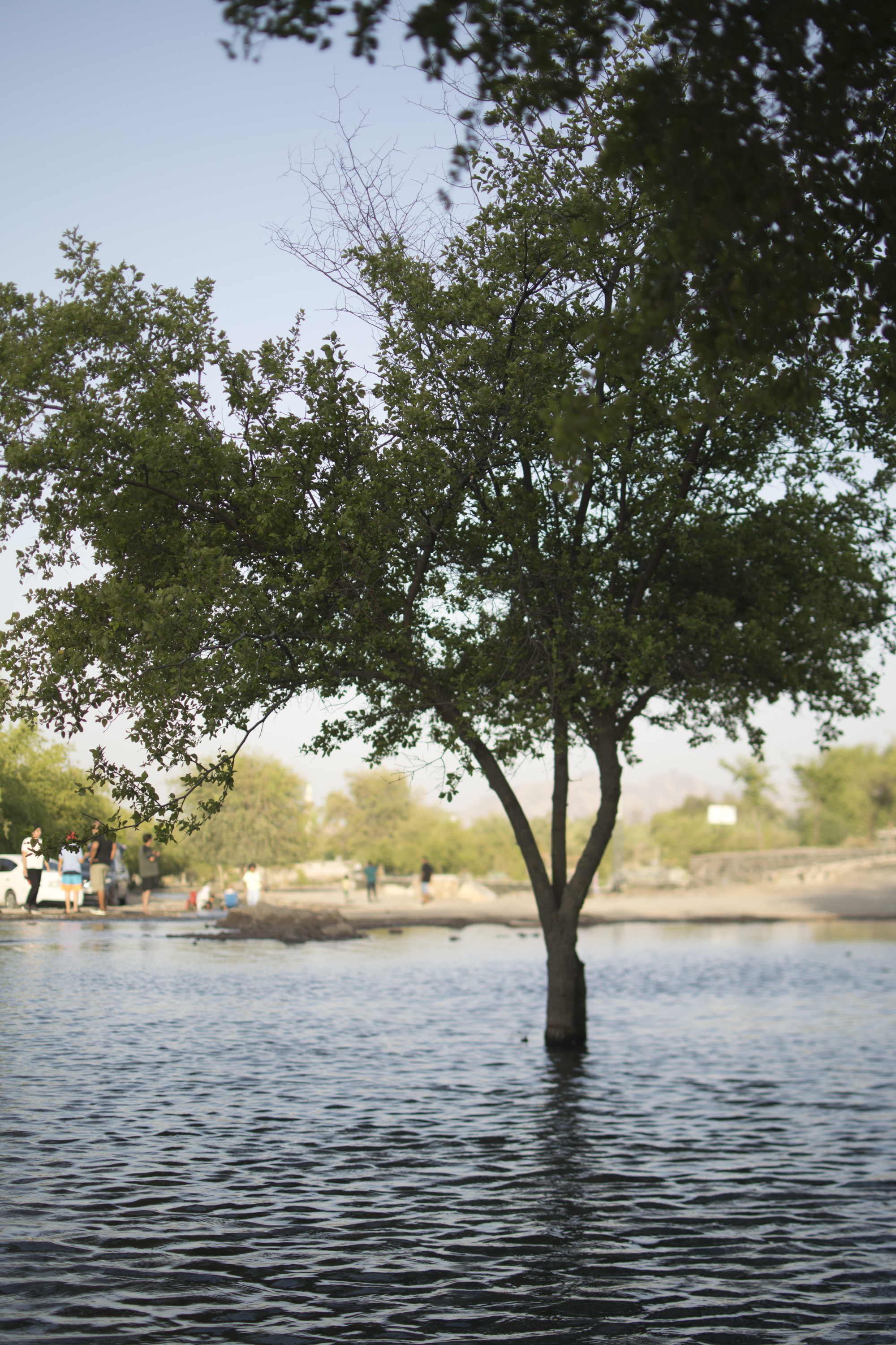
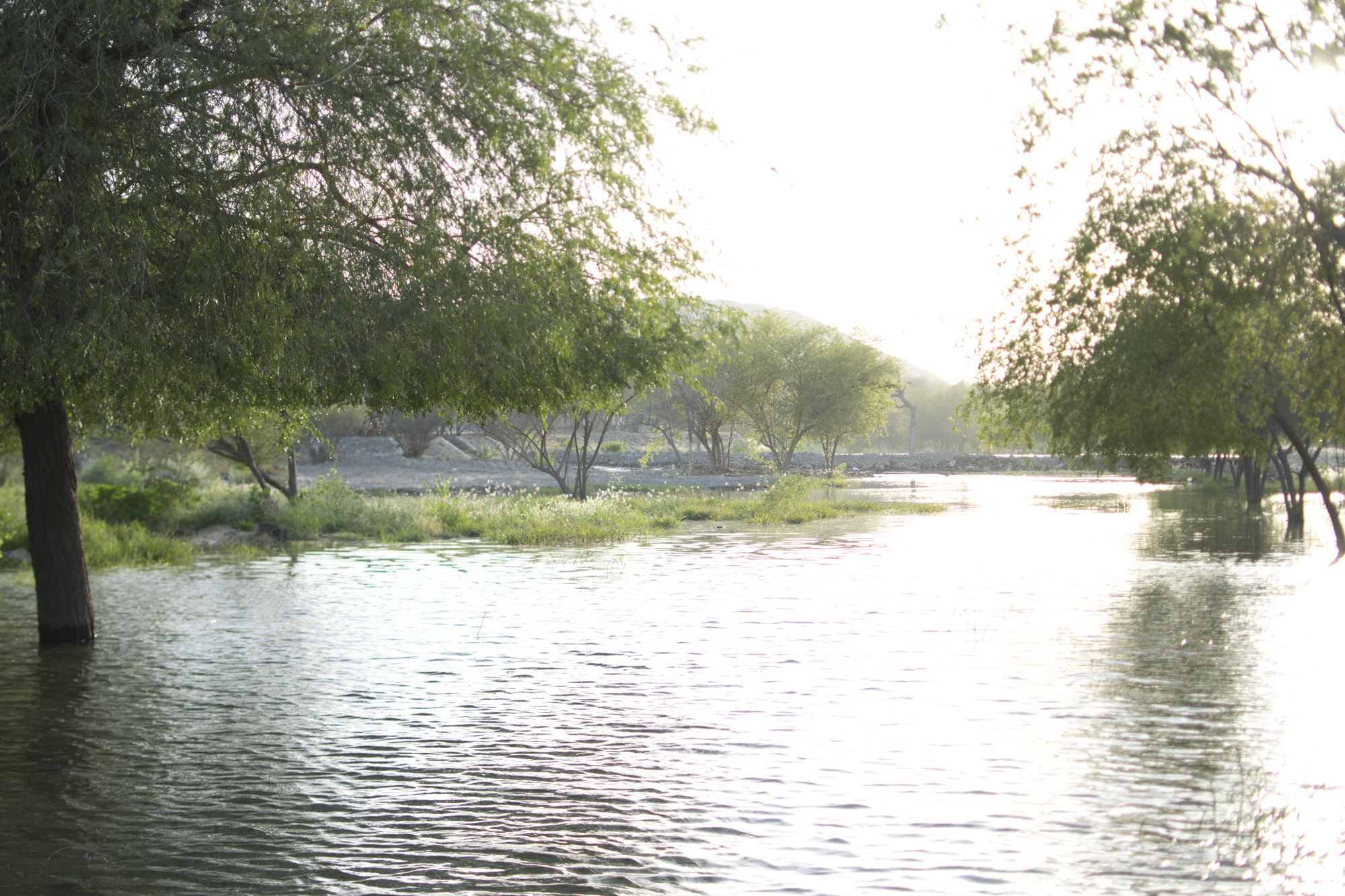
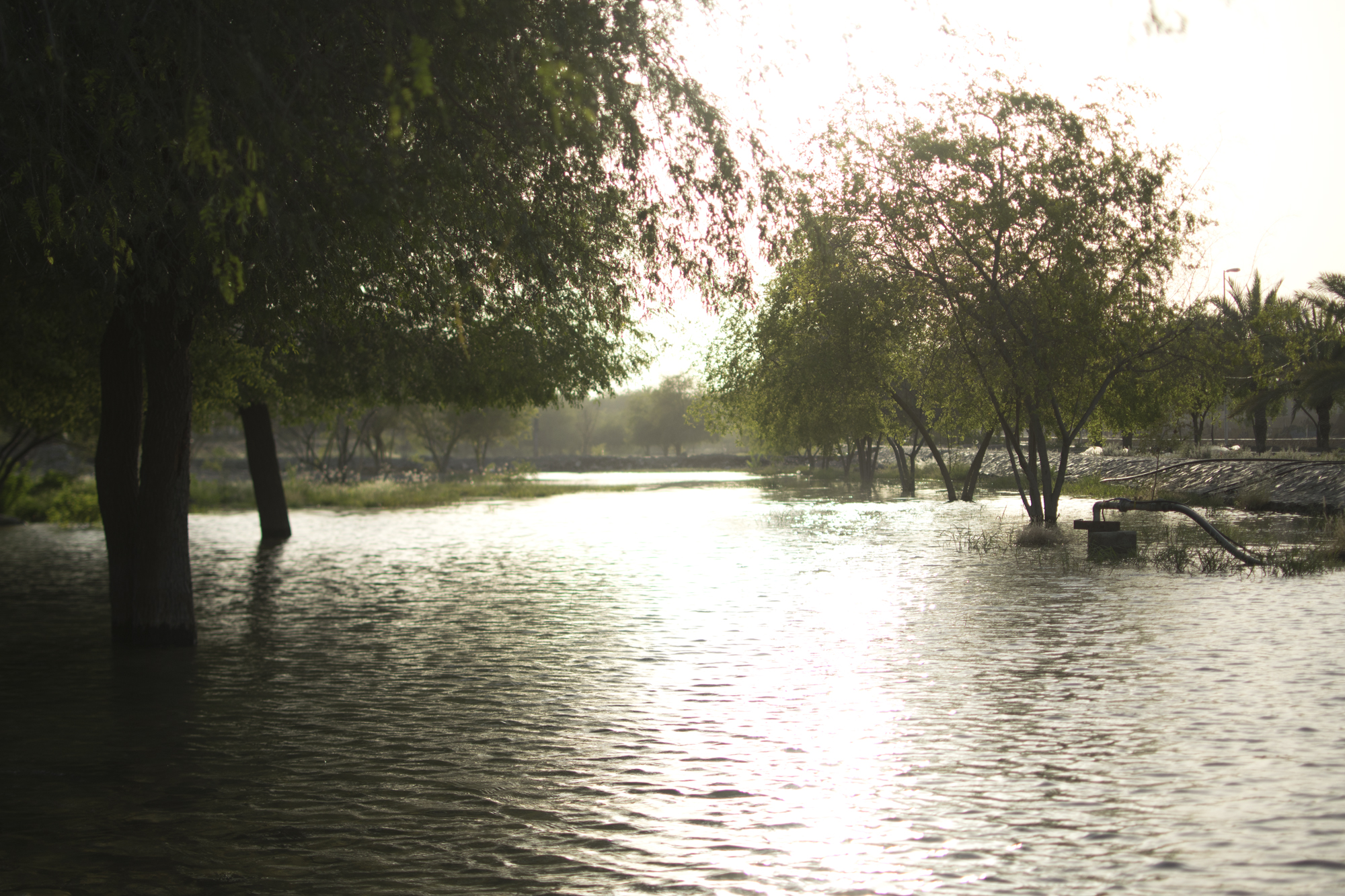
These are landscape photographs, not evidence that entering the water is safe or permitted. Stay out of flooded areas and channels during rain risk, follow warnings, and enjoy creek views from safe ground.
Official sources and details to check before travelling
This guide combines the supplied trip notes and Masfout photographs with the official references below. Unverified prices, historic interior details, named route examples, and colour-grade totals are identified in context rather than presented as confirmed bookings or navigation instructions.
- Visit Hatta: hiking information and current trail map.
- RTA: Hatta bus timetables and official route list, including H03.
- Ajman Tourism: Masfout Gate and regional access and heritage calendar describing Masfout Castle and Museum. Check opening hours and admission locally; the castle and museum should not be treated as one confirmed interior visit.
- National Centre of Meteorology forecasts and warnings.
- UAE government emergency contacts: police 999, ambulance 998, civil defence 997.
- CDC: heat and cold illness in travellers.