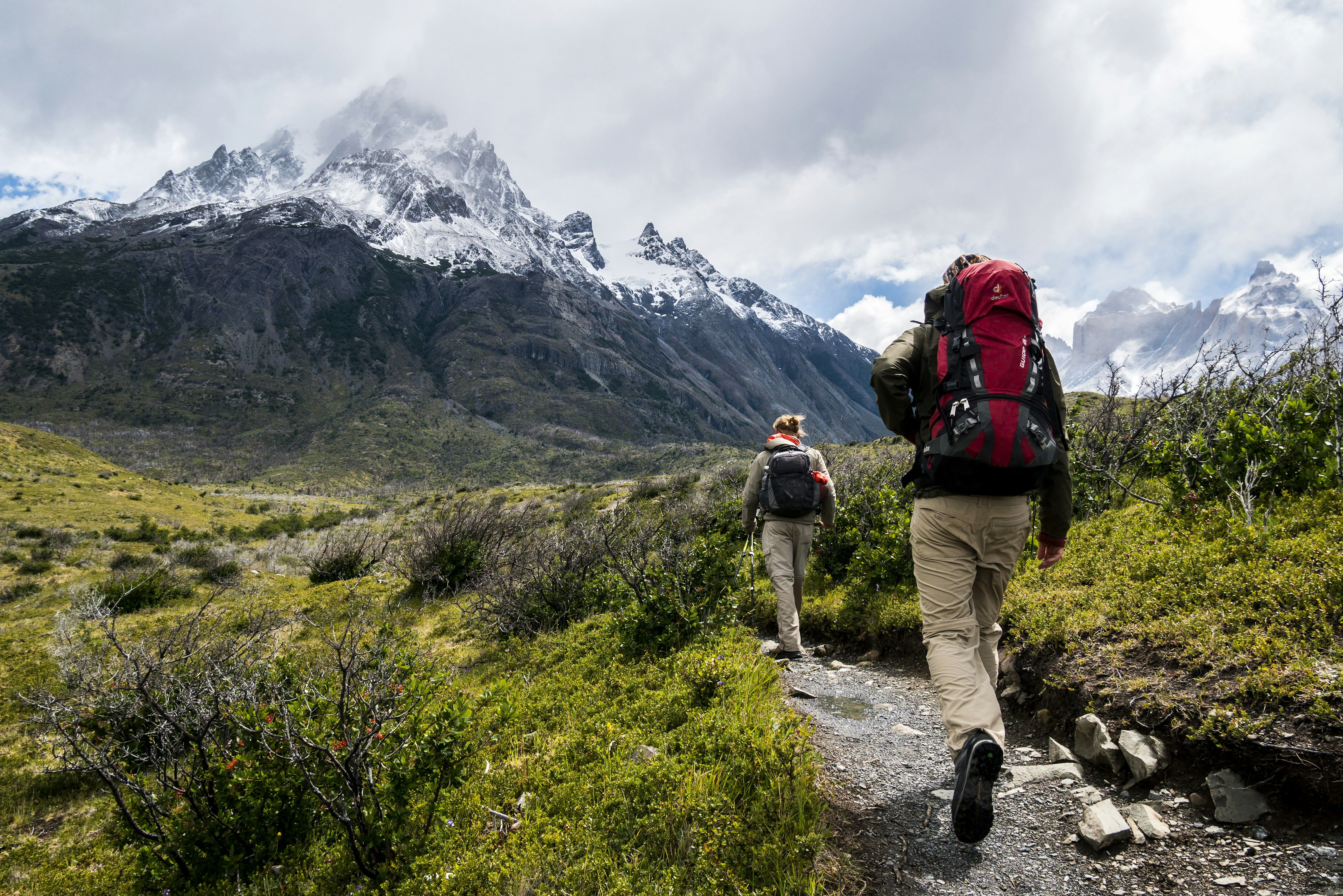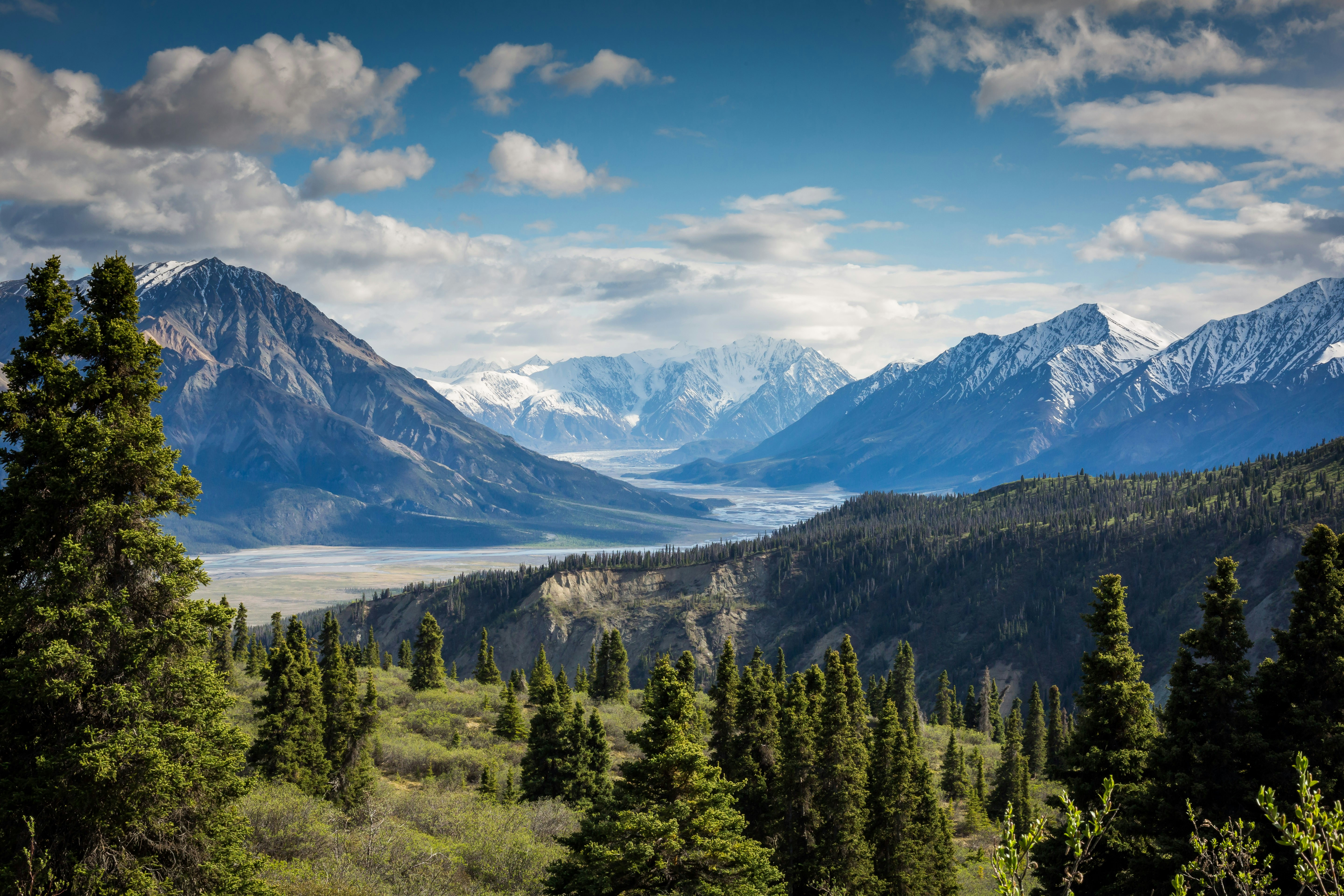
The Hajar Mountains are not one uniform hiking destination. Their character changes from the high, rugged north to the lower eastern ranges, the accessible Hatta area and the much larger mountain systems of Oman.
Choosing where to hike depends on the time available, the group's experience, the amount of driving involved and whether you prefer marked visitor trails, historic settlements, remote wadis or technical canyon terrain.
Match the region to the day
Hatta may suit a quick Dubai weekend outing, while remote Oman routes may require an overnight stay, border planning and a much earlier departure.
Choosing the right hiking region
Before selecting a route, consider more than the photograph or summit height. Each region has different road access, mobile coverage, trail marking, terrain, emergency response and conservation restrictions.
- Driving time
- Border requirements
- Trail marking
- Elevation gain
- Scrambling difficulty
- Weather exposure
- Protected-area rules
- Group experience
Ras Al Khaimah
Ras Al Khaimah contains some of the most dramatic mountain terrain in the UAE. Deep canyons, vertical walls, narrow ledges, old stairways and traditional donkey paths create a wild and often demanding hiking environment.
The northern mountains are higher, rougher and more deeply cut than many areas farther south. Routes may cross loose scree, exposed shelves, boulder-filled wadis and apparently abandoned settlements that still belong to local families.
Jebel Jais access today
Older accounts describe the Jebel Jais road as newly constructed and the final five kilometres as unfinished. That description is now outdated. Jebel Jais is a fully developed visitor destination with paved road access, viewing areas, organised attractions and a substantial trail network.
Ras Al Khaimah Tourism describes more than 100 kilometres of sustainable hiking trails around Jebel Jais, ranging from short walks to more demanding mountain adventures.
Temporary closures can still occur after severe weather, maintenance or major events, so current road and trail conditions should be checked before departure.
Easy road access does not mean easy hiking
Developed viewpoints and attractions sit beside remote terrain. Once away from the road, hikers may encounter unmarked routes, poor phone coverage and difficult evacuation.
Best suited for
- High mountain scenery
- Experienced hikers and scramblers
- Old village paths and terraces
- Marked Jebel Jais visitor trails
- Long winter day hikes
Fujairah
Fujairah's mountains are generally lower than the highest northern peaks, but they are no less rewarding. The eastern side of the Hajar Mountains offers steep wadis, farms, coastal views and a different geological and ecological character.
The proximity of the Gulf of Oman can bring greater humidity, and weather can vary substantially between the coast and the interior mountains.
Wadi Wurayah
Wadi Wurayah is one of the UAE's most important freshwater and mountain ecosystems. Its pools, streams and biodiversity make it unique, but it is also a protected national park and biosphere reserve.
It should not be treated as an unrestricted hiking destination. Access conditions can change according to conservation requirements, and visitors must use only routes, tours or programmes authorised by the responsible authorities.
Protected access only
Do not cross gates, bypass closures or enter restricted sections of Wadi Wurayah. Check current official access arrangements before planning a trip.
Best suited for
- Eastern Hajar scenery
- Wadi landscapes
- Coastal and mountain combinations
- Shorter winter explorations
- Authorised nature experiences
Hatta area
Hatta is closer to Dubai than many northern and eastern mountain areas, making it practical for a day trip or a shorter weekend hike.
The area combines accessible mountain routes, heritage sites, reservoirs, farms and purpose-built outdoor facilities. It is a useful choice for beginners and mixed-ability groups when an appropriate marked route is selected.
Hatta mountain biking trails
The Hatta Mountain Bike Trail Centre is no longer a small new development. Official Dubai tourism information describes approximately 52 kilometres of purpose-built trails, with four colour-coded difficulty levels ranging from beginner routes to advanced tracks.
The trails are free to use and the centre provides an established setting for mountain biking. Riders should still check current opening information, weather and equipment requirements before travelling.
More information is available from the official Hatta and Visit Dubai websites.
Best suited for
- Quick trips from Dubai
- Marked walking and cycling routes
- Beginners and families
- Historic villages and forts
- Kayaking and multi-activity weekends
Oman
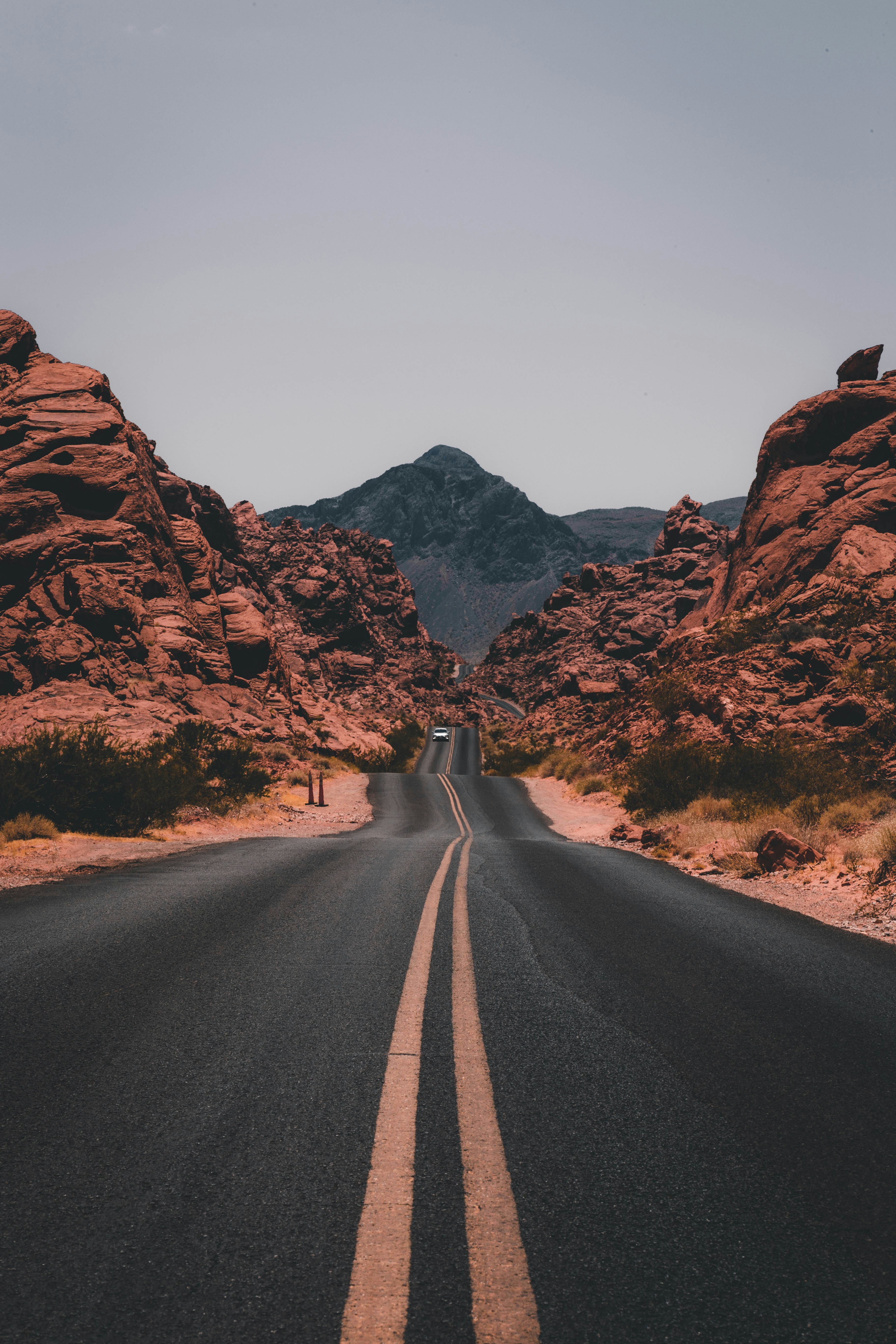
Oman offers a vast range of mountain hiking and canyon experiences within reach of the UAE. The landscapes are larger, routes are often more remote and driving distances can be substantial.
Musandam is geographically close to the northern Emirates, while the Western Hajar Mountains around Jebel Akhdar, Jabal Shams and the great canyons require longer road journeys.
Border planning
Border formalities depend on nationality, UAE residence status, vehicle ownership, insurance and the selected crossing. Travellers should not assume that a visa will automatically be issued at the land border.
The Royal Oman Police directs travellers to its official eVisa eligibility service to determine the correct visa category. Requirements can change, so they should be checked before every trip.
Drivers may also need valid Oman motor insurance, vehicle registration and permission if the vehicle is financed, rented or not registered in their name.
Why stay more than one day?
Many of Oman's outstanding wadis and mountain routes are too far away for a relaxed single-day trip from Dubai. A two-day or longer plan allows time for the border, driving, route finding and an early hiking start.
Snake Canyon and beyond
Snake Canyon is one of Oman's best-known canyon adventures, but it is not a normal walk. Sections may involve swimming, scrambling, jumps, ropes and flash-flood exposure. It should be attempted only with appropriate experience, equipment and preferably a qualified local guide.
Oman offers far more than one canyon: high plateaus, terraced villages, balcony walks, remote wadis and multi-day mountain routes make it a region worth exploring slowly.
Canyoning is a specialist activity
Do not enter a technical canyon because photographs make it look like a hike. Check rainfall across the entire catchment, not only at the canyon entrance, and use qualified guidance when ropes, jumps or swimming are involved.
Best suited for
- Multi-day mountain trips
- Large canyon landscapes
- Guided canyoning
- High-altitude hiking
- Remote villages and wadis
Regional comparison
Ras Al Khaimah
Best for dramatic high mountains, rugged routes, old stairways and a mix of developed Jebel Jais trails and remote terrain.
Fujairah
Best for eastern wadis, coastal mountain scenery and authorised visits to sensitive natural areas.
Hatta
Best for a shorter trip from Dubai, marked trails, mountain biking and mixed outdoor activities.
Oman
Best for longer journeys, large canyon systems, high plateaus and multi-day exploration—with border preparation.
Planning your regional hike
- Choose a route appropriate for every group member.
- Check current road, weather and access information.
- Confirm protected-area restrictions.
- Download offline maps and the route file.
- Carry enough water and an emergency reserve.
- Share the route and expected return time.
- For Oman, verify visa, insurance and vehicle documents.
- Use a qualified guide for technical canyoning or unfamiliar terrain.
Final thoughts
Ras Al Khaimah, Fujairah, Hatta and Oman each reveal a different side of the Hajar Mountains. One region offers high, rugged peaks; another protected freshwater habitats; another accessible marked trails; and another vast canyon systems that deserve several days.
The best region is not necessarily the most spectacular one. It is the one that matches the season, available time, experience and preparation of the group.
Choose the region for the hike you can safely complete—not only for the photograph you hope to bring home.
Further information
- Visit Ras Al Khaimah: Jebel Jais
- Visit Dubai: Hatta Mountain Bike Trail Centre
- Royal Oman Police: Visa eligibility

DubaiHiking.org Editorial Team
DubaiHiking.org shares regional hiking guides, mountain stories and practical outdoor information from the UAE and the wider Hajar region.