Yes, summer in the UAE is extremely hot. For most recreational hikers, mountain hiking from May through September can be impractical and unsafe, particularly on exposed routes with little shade. Even water-based canyon activities in neighbouring Oman become physically demanding during the hottest months.
The cooler months are a different story. Winter brings some of the best hiking conditions in the region, and the Hajar Mountains become accessible to walkers who arrive with the right preparation, navigation skills and respect for the landscape.
Important safety notice
The Hajar Mountains include remote, unmarked and technically difficult terrain. This article is general information, not a route guide. Beginners should hike with experienced companions and should not attempt scrambling, canyoning or isolated routes without suitable training.
Summer heat changes everything
During summer, direct sunlight, high air temperatures and heat reflected from exposed rock can make mountain travel dangerous. Shade may be absent for hours, and many routes have no dependable natural water source.
Dehydration, heat exhaustion and heat stroke can develop rapidly. Starting early does not automatically make a summer route safe, because temperatures can rise quickly and an unexpected delay may leave the group exposed during the hottest part of the day.
Do not depend on willpower
Fitness and determination do not protect a hiker from extreme heat. Choose an appropriate season, check official weather warnings and cancel the hike when conditions are unsuitable.
Winter months are fantastic for hiking
From late autumn through the cooler months, the Hajar Mountains offer clear skies, cooler air and long views across steep ridges and winding wadis. Conditions can still become warm under direct sun, but winter generally provides a much more practical window for mountain hiking.
Visitors travel from around the world to experience this mountain system. The attraction is not simply the height of the peaks. The Hajar landscape preserves an extraordinary geological story and a long record of human use.
The Hajar Mountains are not empty rock. They are a landscape of geology, history, adaptation and quiet mountain life.
A landscape shaped by an ancient ocean
Parts of the Hajar Mountains expose rocks associated with ancient oceanic crust and marine environments that were uplifted and placed high above present sea level. This is why hikers may encounter marine fossils and geological formations that seem surprising in a dry mountain landscape.
The geology is more complex than a single seabed being lifted intact. Different areas contain ophiolite, limestone and other formations created in ancient marine settings and later altered by immense tectonic forces. Today, erosion has opened a window into that history.
Fossils should be observed without being removed or damaged. They are part of the geological record and may also fall within protected or culturally sensitive areas.
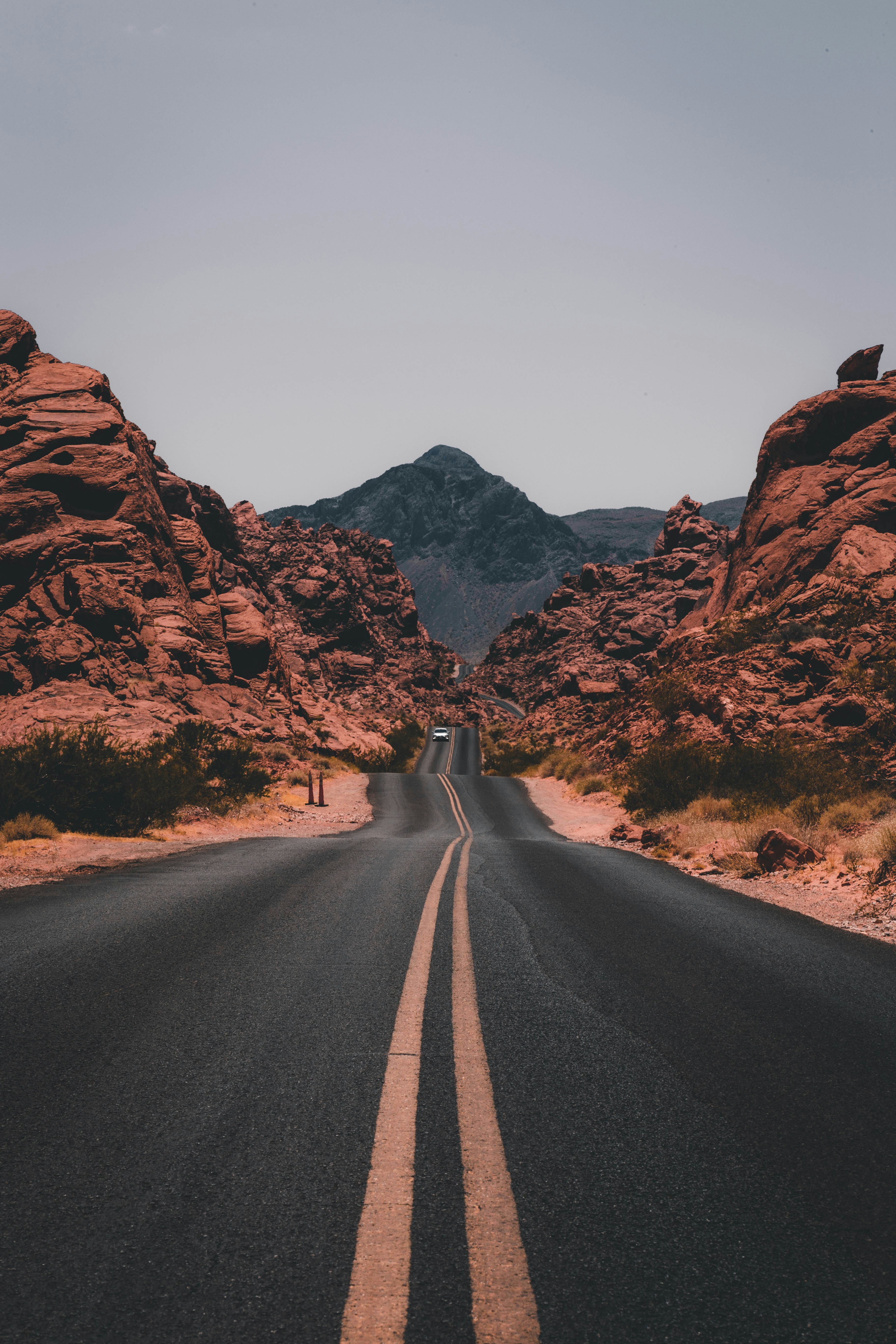
The Hajar landscape reveals layers of geological history shaped by uplift, erosion and ancient marine environments.
More than bare rock
The Hajar Mountains also offer resilient mountain flora, terraced fields, dry-stone walls, old paths, petroglyphs and settlements that may appear abandoned from a distance. These features show how generations adapted to limited water, steep slopes and isolated terrain.
- Ancient geological formations
- Marine fossils
- Mountain vegetation
- Terraced agricultural fields
- Dry-stone walls
- Historic settlements
- Traditional mountain paths
- Petroglyphs and rock art
Do not climb on old walls, disturb graves, enter closed buildings or remove stones and artefacts. Cultural features can be fragile even when they do not appear formally protected.
Hiking without formal trails
Many Hajar routes are not marked, maintained or supported like trails in major national parks elsewhere. A faint path can divide, disappear across rock or lead towards a farm rather than the intended destination.
Rescue may take time, and access for emergency teams can be difficult. Mobile coverage is inconsistent in valleys, behind ridges and in remote areas. Hikers must therefore be capable of navigating offline and managing foreseeable delays.
Water planning is essential
Most routes do not provide reliable wells or safe drinking water. Carry enough for the entire journey, with an emergency reserve. Do not plan a route around an unverified pool, spring or farm tap.
Carry water, not hope
When unsure, shorten the route rather than reducing the water reserve. Turning back early is safer than continuing into remote terrain with an inadequate supply.
Wadi Wurayah is a protected landscape
Wadi Wurayah National Park in Fujairah is known for freshwater habitats, pools and streams that support rare plants and wildlife. It is a nationally protected mountain area and part of an internationally recognised biosphere reserve.
Access rules can change according to conservation needs. Visitors must not enter secretly, cross closed boundaries or bypass restrictions. Use only authorised access, official tours or programmes approved by the responsible authorities.
Protected means protected
Never “sneak into” a restricted natural area. Unauthorised entry can damage sensitive habitats, undermine conservation work and expose visitors to legal and safety consequences.
Jebel Jais: tourism beside wilderness
Ras Al Khaimah has developed Jebel Jais into one of the UAE's best-known mountain destinations. The road attracts cyclists, motorists, families, adventure tourists and visitors seeking cooler air and panoramic views.
Today, Jebel Jais includes viewing areas, organised adventure activities, food and hospitality facilities. Jais Flight, once discussed as a future project, is now operating as a 2.83-kilometre attraction promoted as the world's longest zipline.
Busy roads and developed viewpoints can create the impression that the entire mountain is easily accessible. In reality, many remote slopes and valleys remain quiet. A hiker may move only a short distance from the road and enter terrain with limited signs, no facilities and little passing traffic.
Keep vehicles and equipment away from the carriageway, park only where permitted and do not treat roadside activity as proof that a route beyond the road is safe.
Apparently abandoned does not mean ownerless
Mountain settlements, fields and houses may appear unused, but many remain connected to families from Ras Al Khaimah and surrounding communities, including Shihuh and Habus mountain families.
Respect cultivated areas, walls, houses, water systems and livestock. Avoid entering structures without permission, do not camp inside private property and never block tracks or gates.
Leave cultural landscapes undisturbed
Take photographs, not objects. Leave walls, fossils, tools, pottery, petroglyphs and household remains exactly where you found them.
Essential Hajar hiking safety
The apparent emptiness of the mountains is part of their appeal, but it also means hikers must be self-reliant. Pack lightly enough to move safely, while carrying the equipment required for navigation, hydration, weather changes and an unexpected delay.
- Ample drinking water
- Emergency water reserve
- Offline GPS route
- Fully charged mobile phone
- Power bank
- Headlamp and spare power
- Sun protection
- Suitable footwear
- Basic first-aid equipment
- Food and emergency snacks
Tell somebody your plan
Before leaving, share the route, group members, vehicle details, starting point and expected return time with a trusted person who is not joining the hike. Agree on what they should do if you do not return or contact them by the planned time.
Carry GPS and a phone—but expect gaps
Download the route before travelling and make sure more than one group member can navigate. A phone is useful, but batteries fail and reception can disappear. Do not depend on live internet access.
Choose companions carefully
Remote hiking alone increases the consequences of injury, navigation error and heat illness. Beginners should travel with experienced hikers who know the route and are prepared to turn back when conditions change.
- Check the route and weather before departure.
- Start early and set a firm turnaround time.
- Stay together and stop at every route junction.
- Monitor water supplies throughout the hike.
- Do not rely on mobile reception or rescue proximity.
- Respect farms, settlements and protected areas.
- Turn back when navigation or terrain becomes uncertain.
Enjoy the road—and the mountains beyond it
Whether you hike with a group or travel with a small team of experienced companions, the Hajar Mountains offer an enduring sense of discovery. Their geology, silence and human history continue to move hikers even after many years of exploration.
Areas that once felt inaccessible are now easier to reach by road, but easy access to the mountain does not make the mountain itself easy. Preparation, restraint and respect remain essential.
Carry enough water, know where you are going, respect the people and places you encounter—and let the mountain set the pace.

DubaiHiking.org Editorial Team
Our community team creates practical hiking guides, outdoor-safety resources and mountain stories for explorers across Dubai and the UAE.