AT A GLIMPSE
– Return trip
– Distance: 5/6km
– Visible path
– Activities: soft ascent/descent, only short bit of loose rocks, no deep or dangerous cliffsDifficulty level : 2
Background
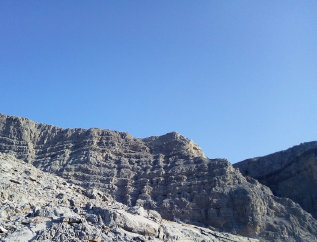
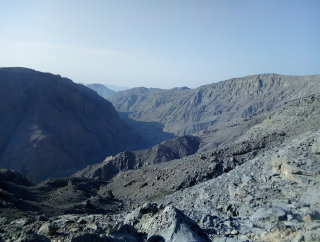
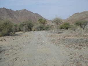
This hike is situated in the Jebel Jais area. The starting point is just off the tar road, so easily accessible with any car.
We did this hike in December 2016. And it was absolutely fantastic. Obviously the sun was there, but during this month it is a friendly one.
We started at 7am (which means a very early wake up in Dubai: 4am). It was just light enough to start with the soft ascent.
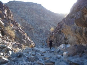
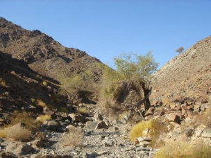
There is a path all the way: still being used nowadays by humans, donkeys and goats. The presence of this path contributes to the fact that this hike is a light one (compared to so many others in the Hajar mountains).
Our aim in the coming weeks is to make this hike a circular one. We`ll keep you updated.
Direction and Coordinates
Pin 1: On the Jebel Jais road, Start at: N25 54 10.64 E56 08 00.08 (elevation 559m). Follow path uphill until you reach
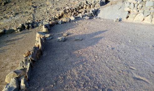
Terraced Field: N25 54 15.32 E56 07 29.28 (elevation 770m). Follow path and walk through the
Settlement: N25 54 19.68 E56 07 23.73 (elevation 787m). Once through settlement head to
Start second path: N25 54 21.80 E56 07 20.89 (elevation 790m); follow this smooth path until you reach
Second settlement: N25 54 24.32 E56 07 04.45 (elevation 787m)
End of hike is on N25 54 20.04 E56 06 56.34 (elevation 807m)
Total height gain is 248m.
Description of the hike
Why this hike?
Some feature f this great hike.
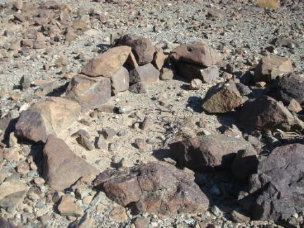
- Great views
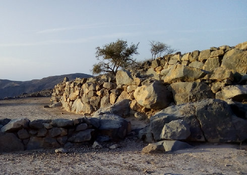
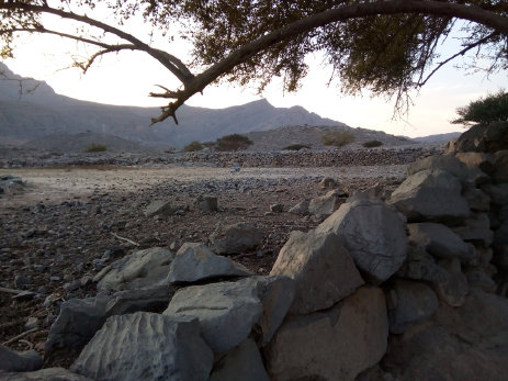
- Stunning dry walls
- Terraced fields
- Cemetery
- Goats
- Sheep
- Donkeys
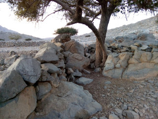
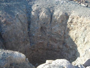
- An ancient wheat mill
- Remnants of Falaj (= ancient water channels for irrigation)
- Some beautiful Sidr trees and Acacias
Ancient wheat mill which we saw in the second settlement.
![]()
Test comment