Difficulty : Moderate
The official hiking trail of Jabel jais mountains.
No way you can get lost.
Amazing views.
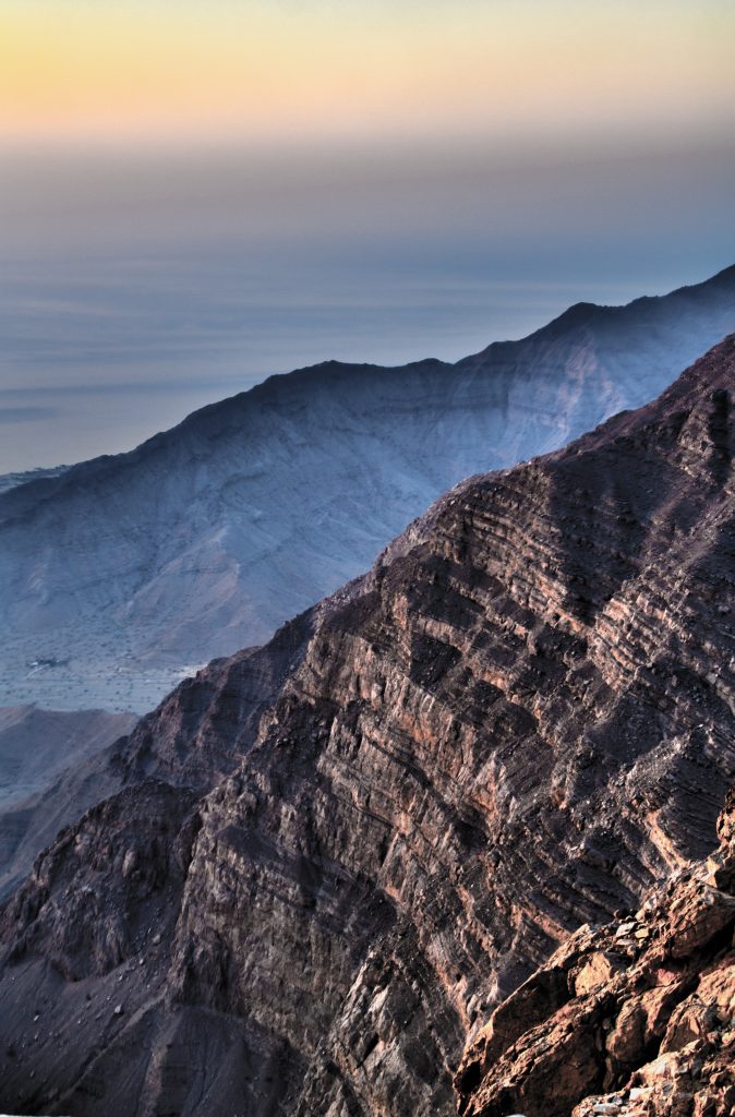
The Ghaff summit – Jabel Jais Mountains
The Ghaff Summit is the highest peak of Jabel Jais mountain in UAE. The mountain ranges extends to the Oman region where there are several higher peaks. Since those all are outside UAE, the highest peak in UAE belong to Ghaff summit at 1640 meters above sea levels.
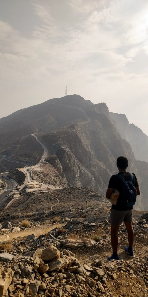
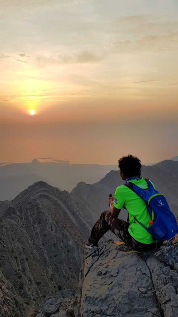
The hiking trail route will takes us on the newly established hiking route through the higher part of Mount Jais leading to the highest public point in UAE overlooking the seaside and the Northern side of Jebel Jais.
The starting point of this trail is the view point and parking area on the top of Jabel Jais. You can park your car there.
You can use the paid parking facility or you can park along the road side. I suggest to use the paid parking facility, so that you can use the restroom and cafe inside for a tea break.
The trail of the hike start from the opposite entrance of the viewing area. You can find the official map here in this link below.
https://visitjebeljais.com/wp-content/uploads/2019/08/Upper-trail-map.pdf
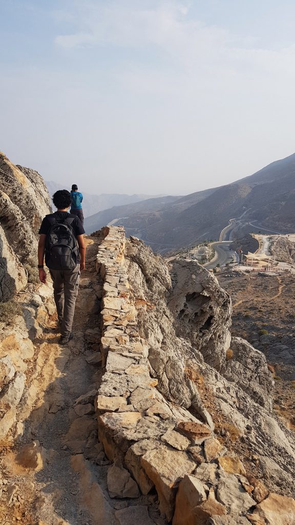
All the trails are well marked and is running parallel to the road on the side. There is no way you can get lost in the trail. It is the perfect place to enjoy the outdoors at a higher altitude in cooler temperatures. Unwind, relax and enjoy a good company on a well-established route made for ease and a good warm-up during these times.
This is the must have list.
- have 3 litre of drinking water.
- Sugar booster like soft drinks or chocolates etc.
- Proper hiking boot with good grip.
- Sunhat / Sunglass
- Fully charge phone. (switch off data and GPS if not in use to save battery)
- Head torch, just in case you are getting late
Strictly no trash zone.
The Trail.
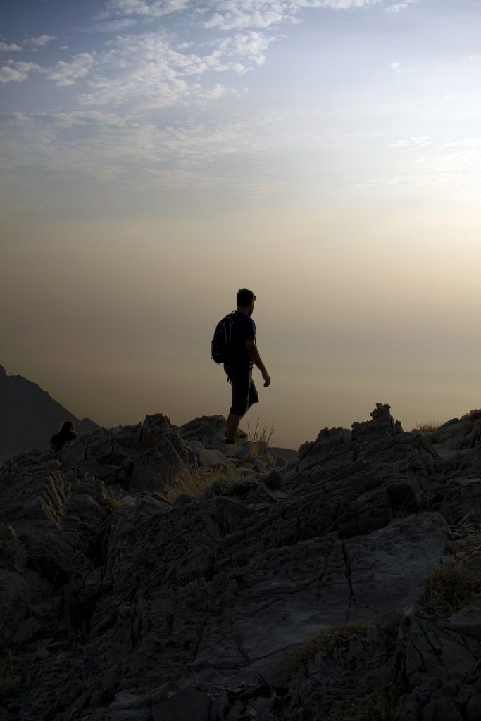
The trail is well marked. Just follow the marking.
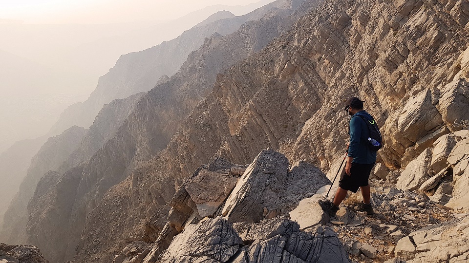
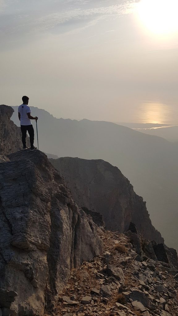
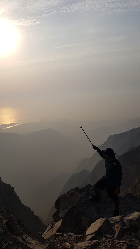
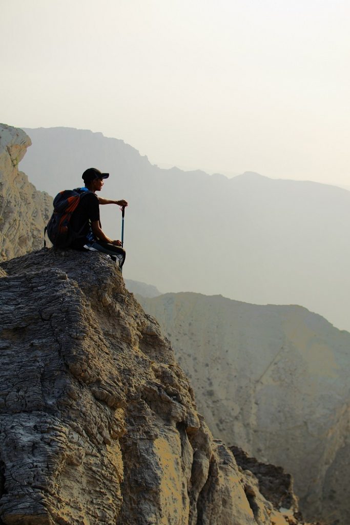
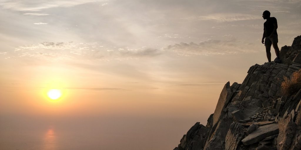
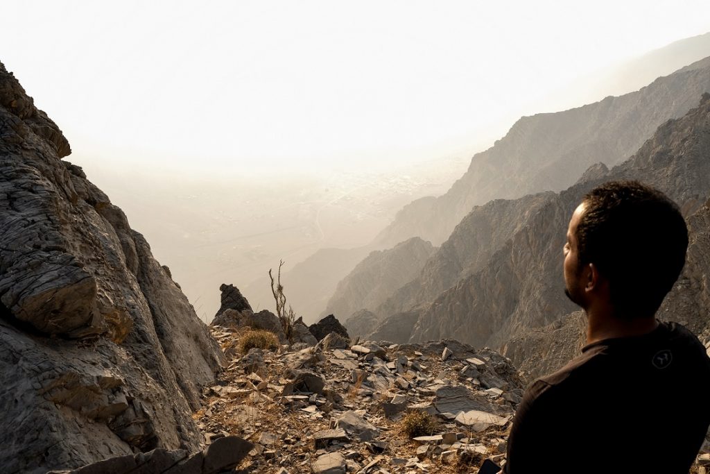
First part of the hike is pretty steep and physically demanding. You will get to the resting area where you can find shades. Walk around the eastern side of the location to get some amazing photos. Just be careful not to take too much risk in these area as the fall zone of the cliff is very steep.
You might need to take a break several times as the ascend is very steep.
All the view points are few meters away from the trails. So as marked in the map, and in the route you can roam around to get some beautiful photos.
Before reaching the second kilometre marker, there is the return trail to the road. If anyone is not feeling comfortable, they can use this trail to return back to the roads.
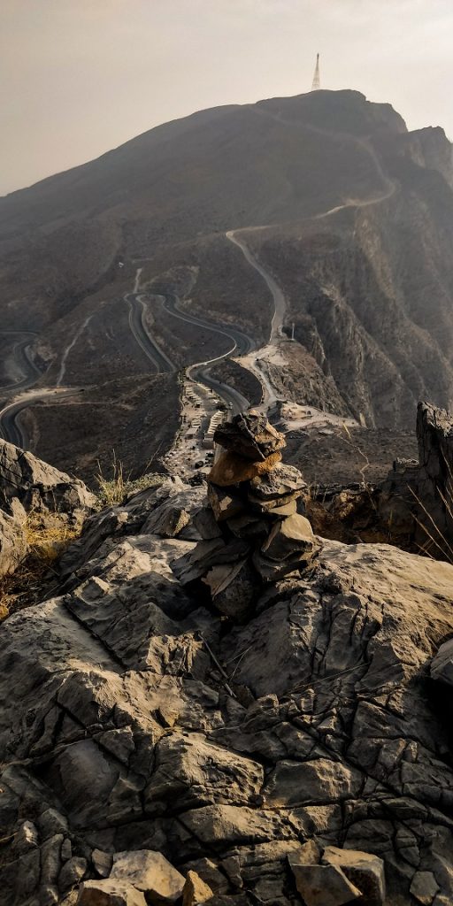
From the third kilometer marker the trail will join the main road. So you will have to walk few meters on the road and then join the leading from the left side of the road.
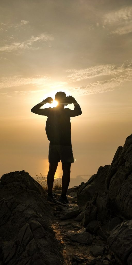
The last part of the trail from the road to the summit is a pretty steep ascent. there are two view points there, called north summit and south summit.
The return route is all the way back the way you went up.
![]()