AT A GLIMPSE
– Return trip
– Distance: 7km
– Duration: 5 tot 6 hours including stops
– Activities: lots of boulder hopping,scrambling, parts with up- and downhill on loose rocks
Background
This hike is not for the faint hearted. Apart from the gentle walk on the beautiful plateau, you will not be able to achieve the end without some serious effort. Use all of your muscles to get this job done.
Direction & Coordinates
Click here for directions to Start point of the hike
Waypoint 1: N25° 53′ 17.27″ E056° 08′ 07.19″ 377m car park
Waypoint 2: N25° 53′ 10.87″ E056° 08′ 11.80″ 497m manmade stairway
Waypoint 3: N25° 52′ 51.37″ E056° 08′ 17.05″ 629m plateau
Waypoint 4: N25° 52′ 27.71″ E056° 08′ 01.19″ 1009m pass and viewpoint
Description of the hike.
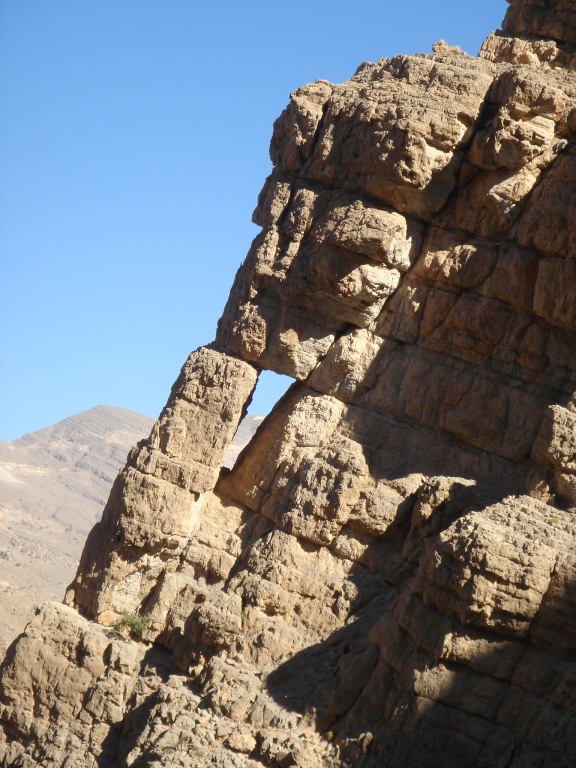
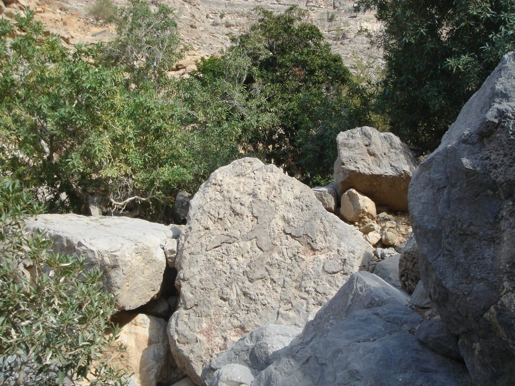
Park your car on the side of the road (waypoint 1) and start your hike by following the gorge uphill. There are no trail marks here, you just need to boulder-hop your way up.
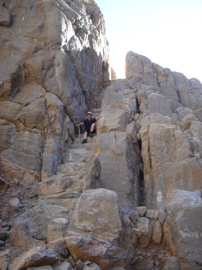
After about 15 minutes you will notice a manmade stairway (waypoint 2) on your left: there are quite a few of these stairways in the Hajar mountains, made by the hill people. Here the steps are even cemented, while in most cases they are built in a “dry way” (without any cement). Once on top of the stairway, head to the right of the gully until you find a similar one, albeit less steep.
Follow the “path”: just so you know… indeed, there is a path and that makes your ascent much smoother. However this path is not very visible from down under, attempt to notice the polished rocks: it indicates the trail.
If you can`t find it: no worries, there is always a way up…
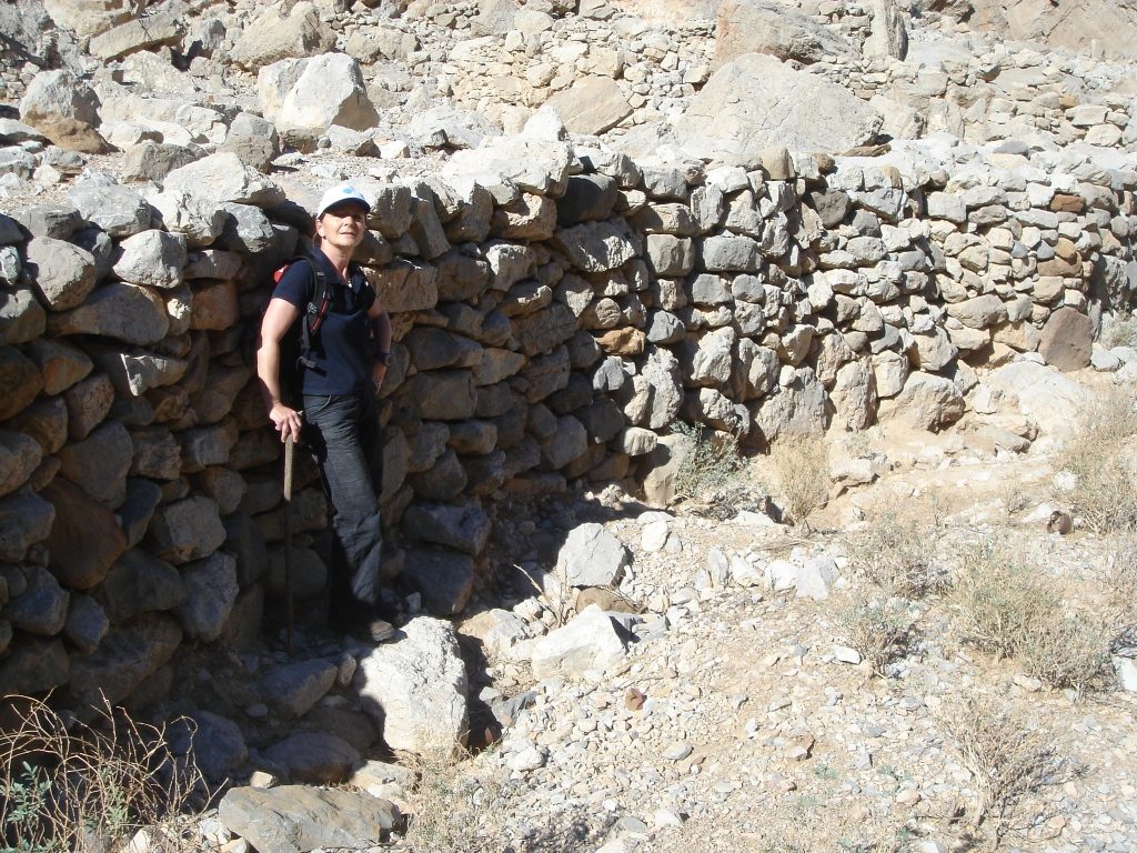
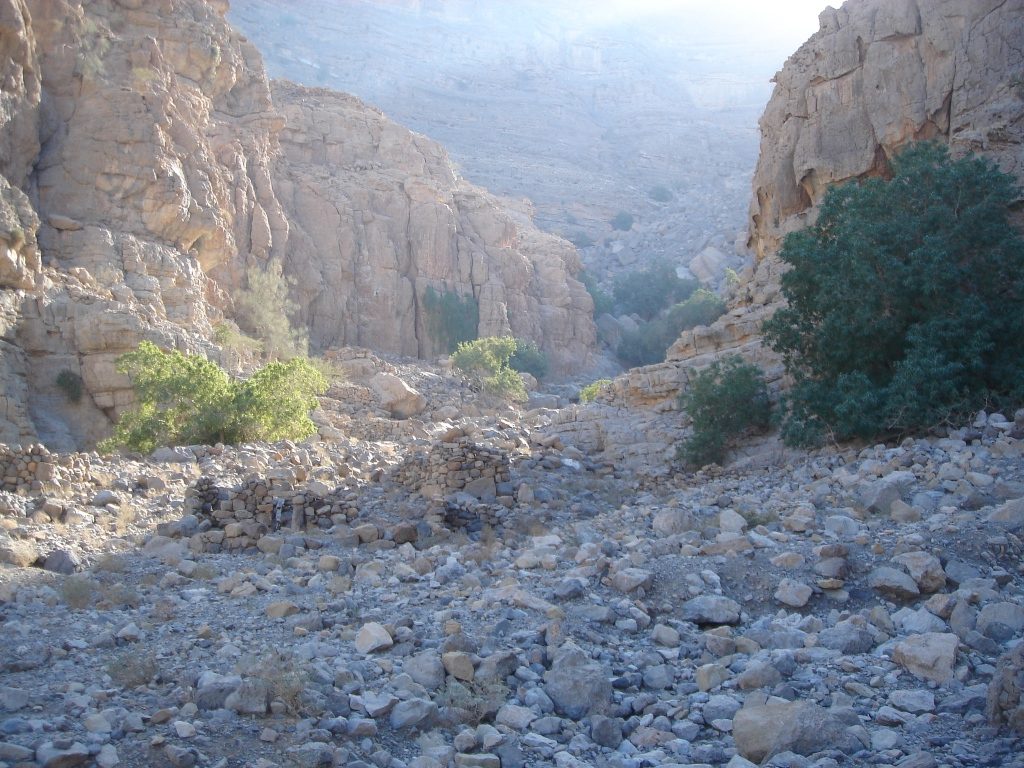
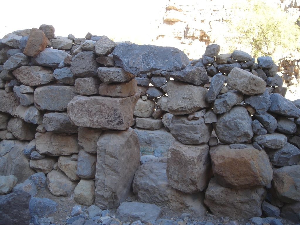
After a while, a surprise awaits you: a wonderful, peaceful, shady plateau (waypoint 3). The very primitive stone houses have no more roofs and the terraced fields are barren but clearly people are still living here intermittently: there are barrels, trunks, bunks, bottles….
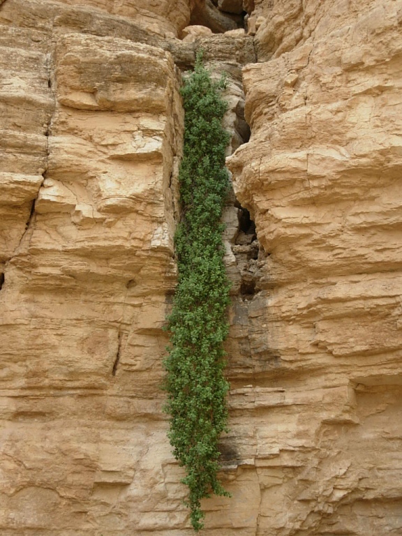
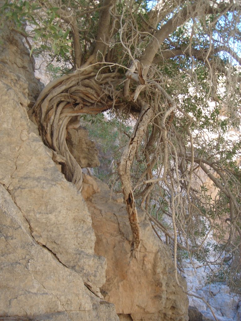
This is a great place for a break with lots of shade thanks to the high “walls” of the gorge and the green ficus trees.
Follow your way up: you will soon come across a well.
Along the way you will notice traces of people and animals presence: more stone houses, shelters, cultivated trees, small fields, dry walls and of course the inevitable goat dung.
There is quite a large settlement over vast grounds from where you can admire great views.
And now it is time to start the long ascent to the pass: make sure you head to the correct coordinates (waypoint 4) and follow the route along the ridge: that is the easiest one. The ridge gives you a bit of extra stability on the loose rocks.
Once on the top, you will be able to enjoy the stunning views all around you.
The descent is via the same trail.
Needless to say that this hike can only be done during the cooler months. Especially during the last ascent to the pass, you will be pretty exposed.
![]()