Background
AT A GLIMPSE
– Circular trip
– Distance: 13 km
– Duration: 8 hours, including stops
– Activities: steep climbing in certain areas, bit of scrambling, parts with up- and downhill on loose rocks, gentle plateaus
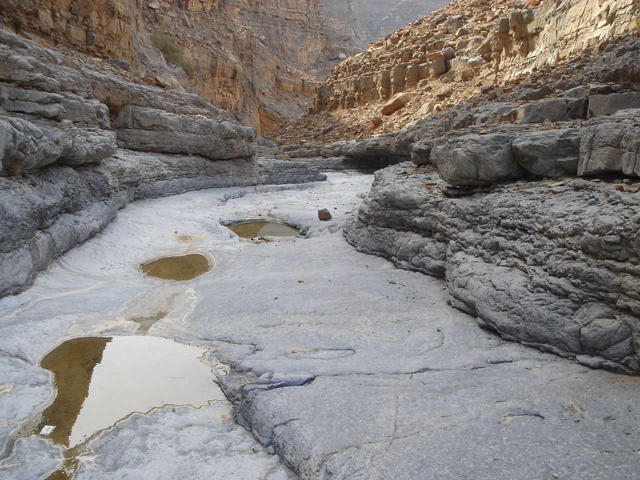
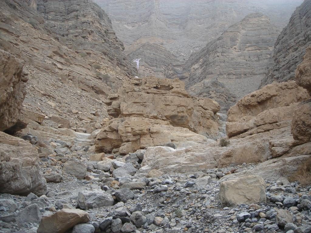
This is a most wonderful trip; the scenery is breathtaking. Behind every curve, something new is waiting to be discovered. There is a variety of terrain and sightseeing: boulders, deep canyons, impressive views, steep mountain slopes, fossils, great pools, an ancient village and a date palm plantation (the village is still inhabited intermittently).
Thanks to the valuable input of fellow hikers (Rene Duettra and Jim Bychowski), we managed to set up a circular route iso a return one. Thank you guys!
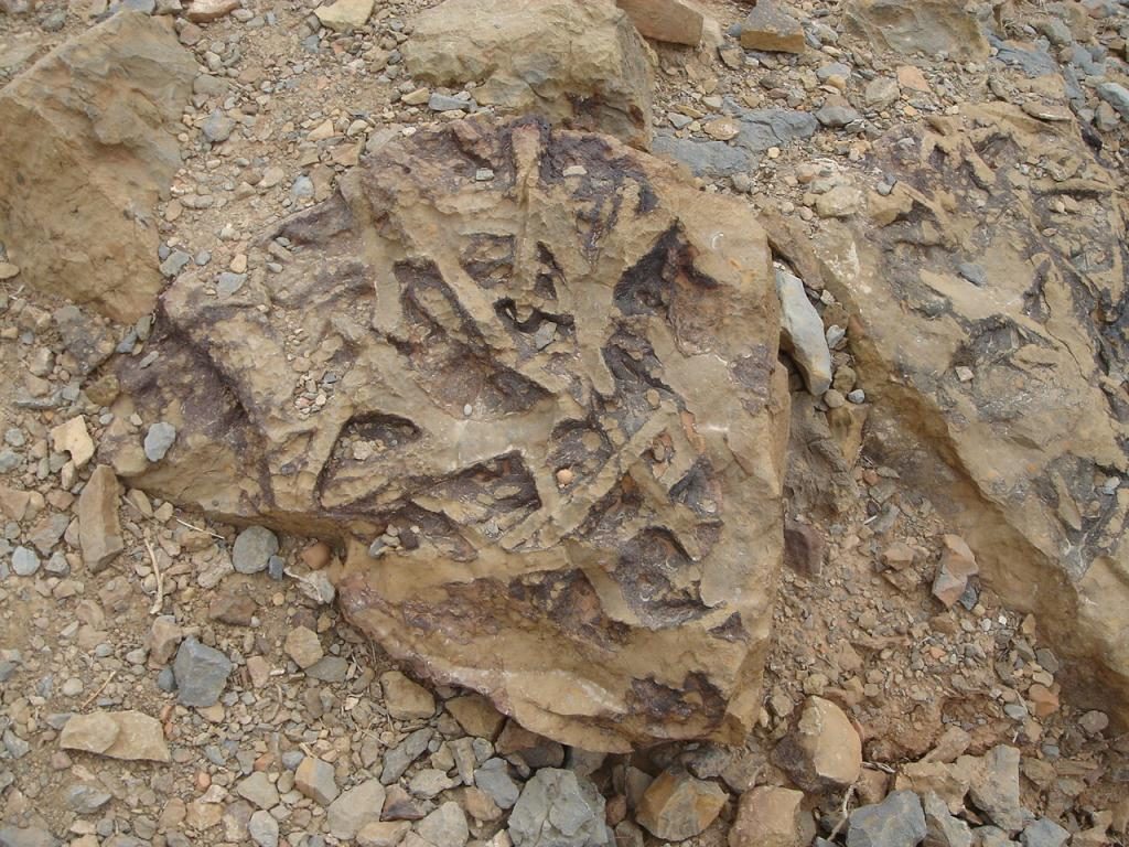
Breathtaking scenery, canyons with vertical walls, impressive gorges, fossils, ancient settlements, Shihuh architecture, great hiking, petroglyphs …. all in Wadi Shah
| no | Way points | Latitude | Longitude | Elevation |
| 1 | Start Hike | N 25 53.981 | E056 08.533 | 404 m |
|---|---|---|---|---|
| 2 | Triple Waterfall | N 25 54.018 | E 056 10.011 | 597 m |
| 3 | Start Trail Up | N 25 54.002 | E056 10.061 | 605 m |
| 4 | Entrance Gate | N 25 54.219 | E056 10.225 | 759 m |
| 5 | Village 1 | N 25 54.470 | E056 10.190 | 869 m |
| 6 | Cemetery | N 25 54.657 | E056 10.074 | 979 m |
| 7 | Highest Point Hike | N 25 54.591 | E056 09.608 | 1073 m |
| 8 | Water Reservoir | N 25 54.772 | E056 09.455 | 1035 m |
| 9 | Village 2 | N 25 54.855 | E056 09.372 | 1010 m |
| 10 | To Ridge | N 25 54.893 | E056 09.254 | 975 m |
| 11 | Fields | N 25 54.802 | E056 08.948 | 874 m |
| 12 | Start Trail | N25 54.824 | E056 08.947 | 873 m |
| 13 | Entrance into Wadi | N 25 54.488 | E056 08.960 | 586 m |
Pin 1: Start Hike
Pin 2:
Pin 3
Pin 4
Pin 5
Pin 6
Pin 7
Pin 8:
Pin 9:
Pin 10:
Pin 11:
Pin 12
Pin 13:
Description of the Hike
You will just follow the winding wadi, which gradually ascends. At the very beginning it is almost flat, an easy-to-walk terrain with small gravel.
The boulders will become larger until you reach the XXL ones, so a bit of scrambling skills are required.
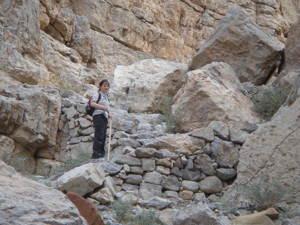
Bear in mind that this route is still being used. This is obvious because of the cairns, the polished rocks, the path (not always very visible) and also the stairways, which have been built in the past and are maintained until date.
These stairways make your life easier so use them. It is obvious that they show you the most convenient way around huge boulders.
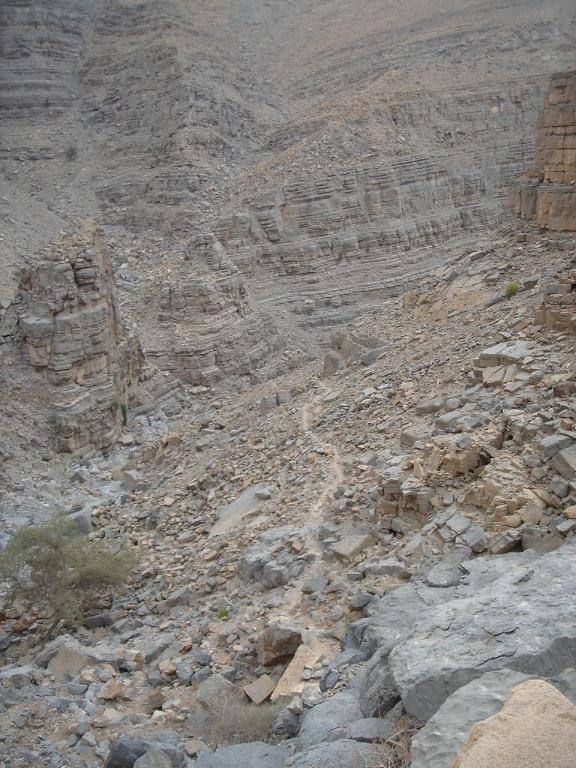
You will soon experience that the gorge becomes rougher and narrower.
At a certain point, you have the option to:
Either follow your way up through the gorge, or follow the path (a bit higher up) which will lead you to the top of the canyon.
Both options are great, I have no favourite.
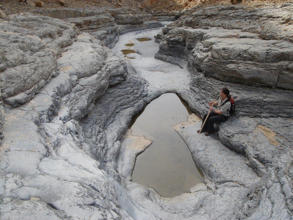
The first option is maybe more adventurous because of larger boulders, more scrambling and, if there has been some rain, refreshing pools. The advantage of this option also is that you will not lose the right track: just follow the wadi, nothing easier than that. And whenever the wadi splits, stick to the left side.
When you have reached the old date palm plantation, it means the village is right above it, on the plateau.
Another short climb and… there you are….
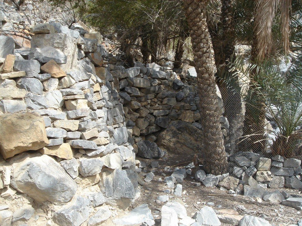
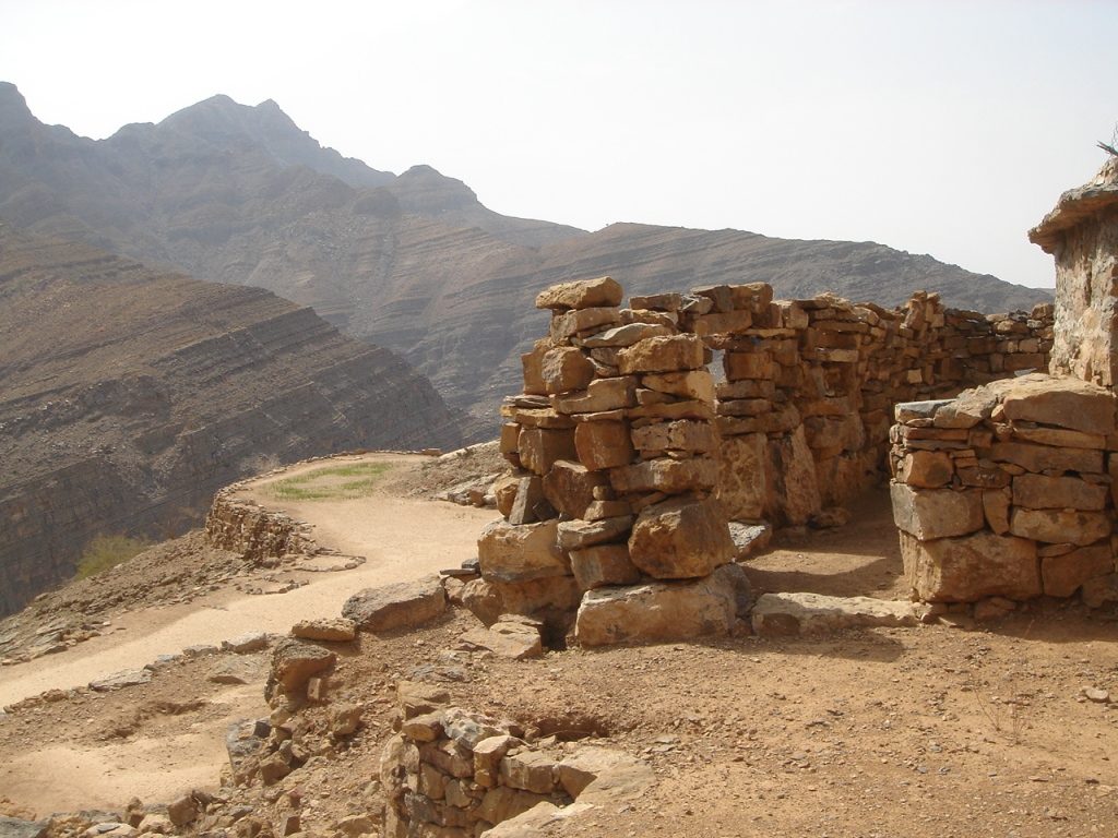
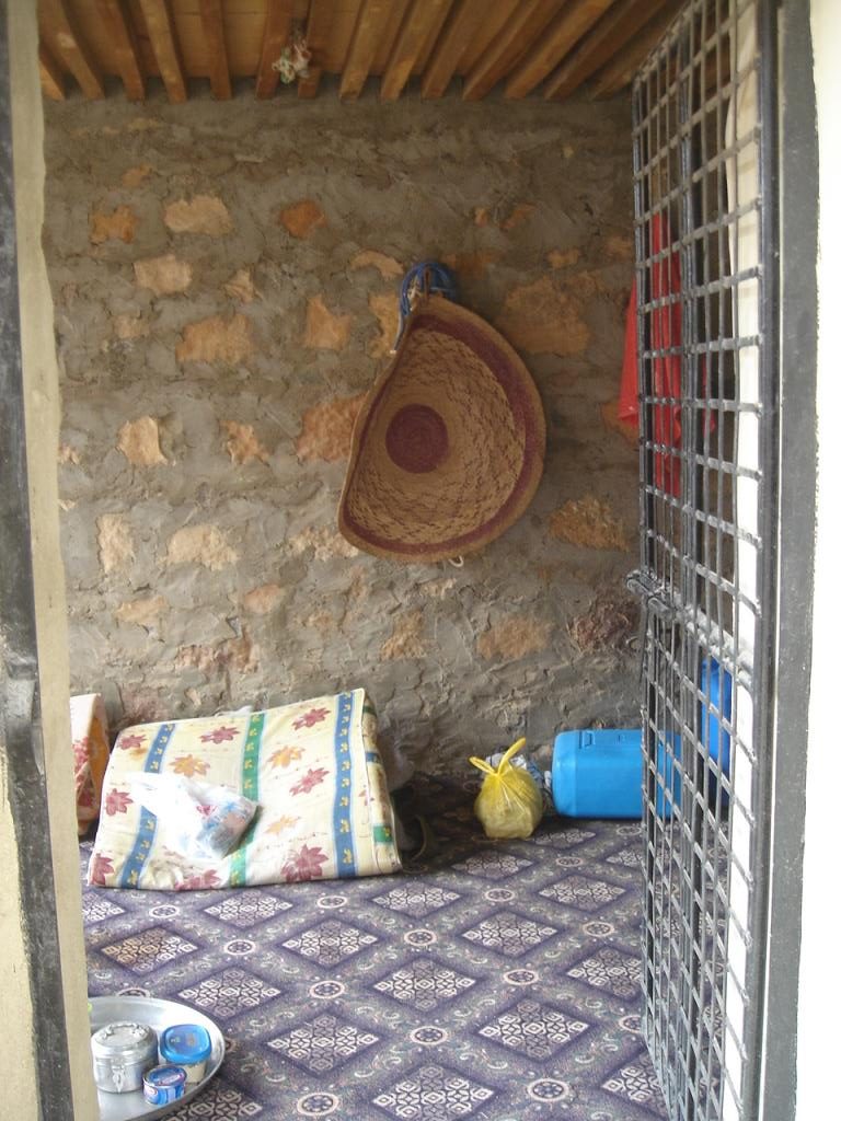
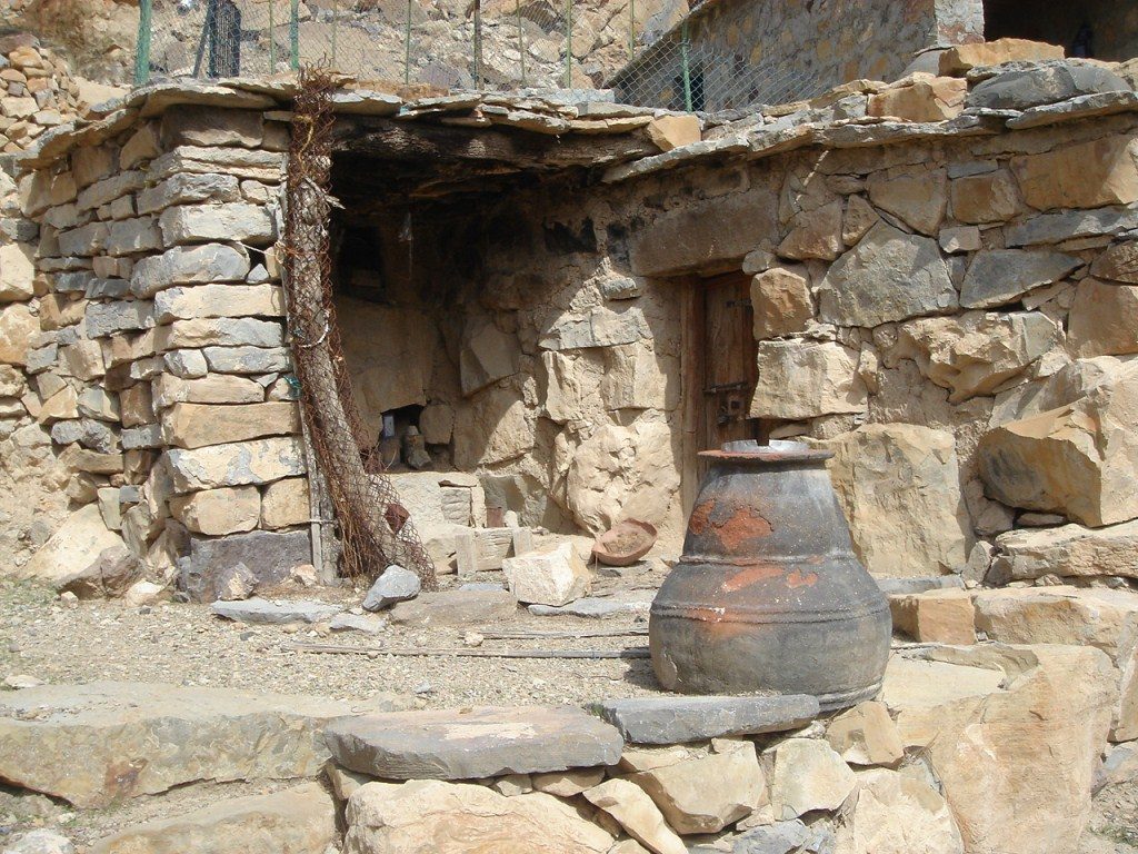
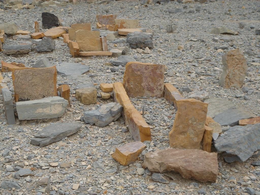
This village is quite extended and vast; it covers various hills and plateaus and has many terraced fields and stone houses.
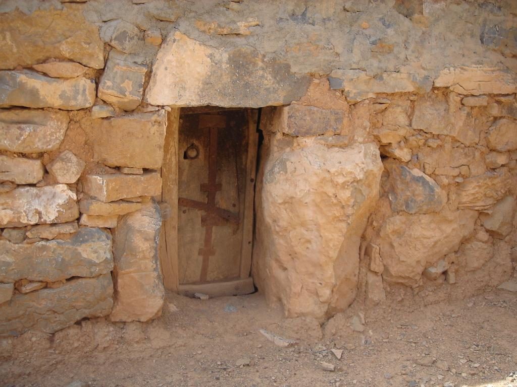
The location is simply stunning, with the almost vertical mountain slopes on one side and the deep canyon on the other. Most of the houses are old and abandoned but others have been renovated recently and are obviously inhabited intermittently.
Long and high dry walls have been constructed to form terraced fields. Small houses are made with huge, heavy blocks of stone and blend into the existing rocks of the landscape

This is an ideal spot to have a break and to spend at least an hour in order to inhale the mysterious beauty of this mountain village.
With a bit of luck, you will even be offered a cup of tea by one of the Pakistani housekeepers or by the Emirati owner himself.
After a well deserved break, follow your way up in the direction of waypoint 6. The terrain ascends gently and you will soon reach another plateau where a cemetery is located. With the yellow gravestones lined up, this place is special and serene.
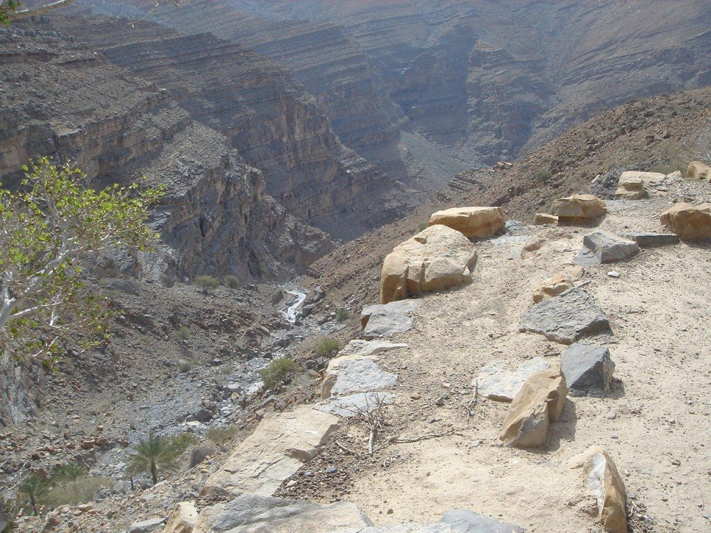
Now proceed over the ridge (highest point of the hike, waypoint 7) and prepare yourself for some more stunning views on the other side of it. The adjacent wadi is lying below you and you will notice a winding tarred road in the far distance.
Another village comes in sight and this is the place you will walk to. Head for the water reservoir (waypoint 9) and from there a trail leads to the village which is guarded by Pakistani housekeepers.
Traverse this settlement until you have reached the far end and start your way down (waypoint 11) via the trail which leads over the ridge to some fields (waypoint 12) in the distance.
From these fields, a perfect mountain path will bring you down smoothly, zigzagging over the slope until you arrive in the wadi. From there the trail will obviously lead you to the tarred road, the end of the hike, and your car.
![]()