AT A GLIMPSE
Last updated on 05/01/2020
– Return trip
– Distance: 8km
– Activities: mostly boulder hopping, soft ascent/descent, a few screes, no deep or dangerous cliffs, a few easy plateaus
Background
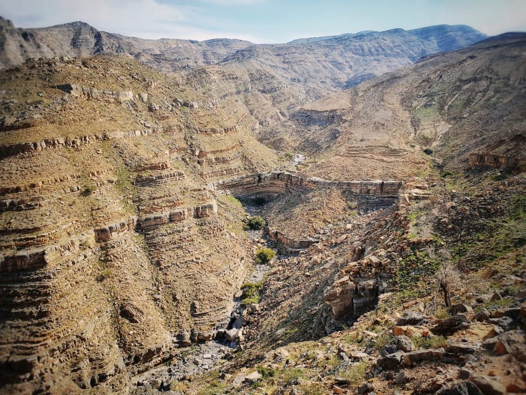
This hike is situated in RAK Jebel Jais area.
The name “Leopard Canyon” or “Wadi Al Nimr” is called after the last wild Arabian leopard being killed in this region(?), the remains of which were placed on a tree branch.
The starting point is easily accessible, even with a good sedan.
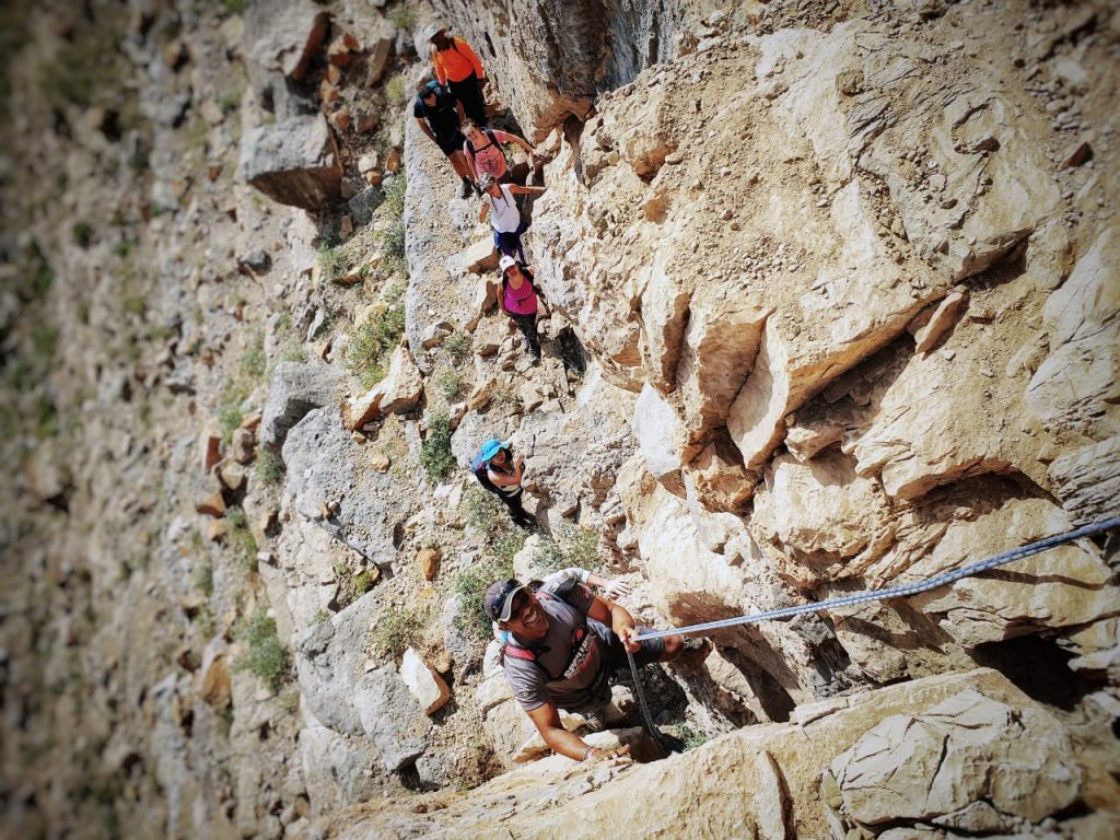
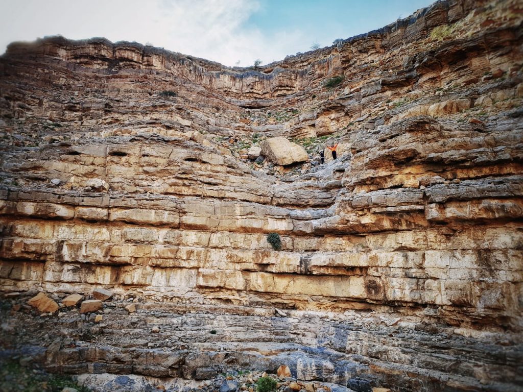
This hike can be done for the Beginner level as well as the extended route is classified as Moderate + which require quite and mount of physical skills and bouldering and climbing skills. So this post will be starting with the beginner level part and then it will be followed by the intermediate level part which is a bit difficult for newbies.
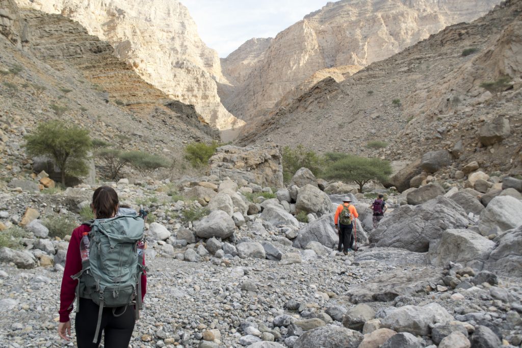
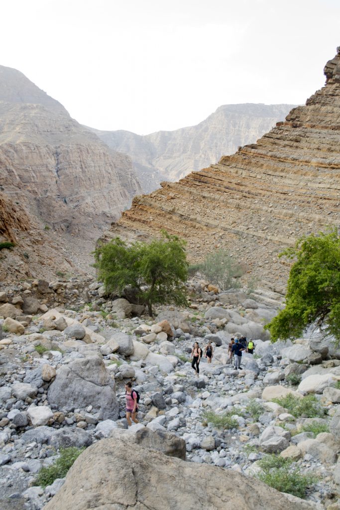

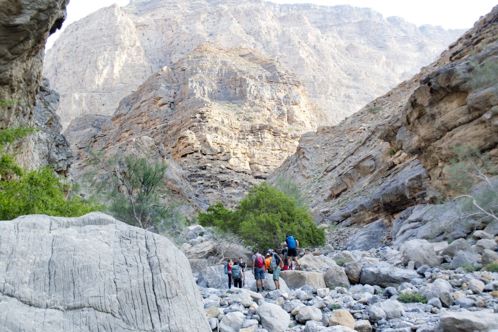
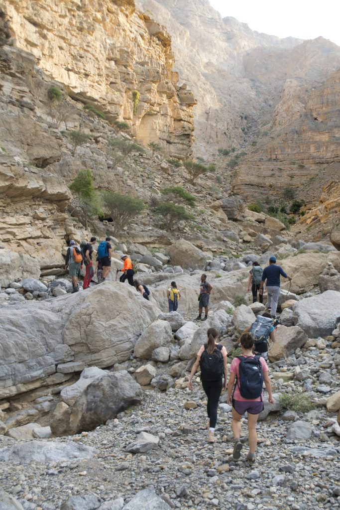
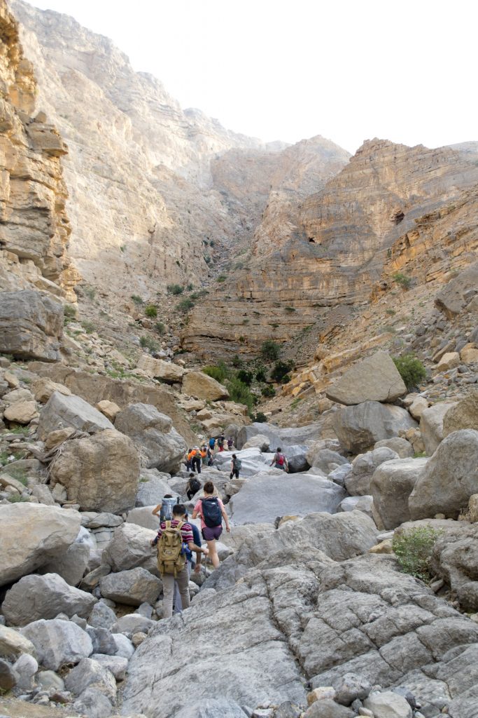
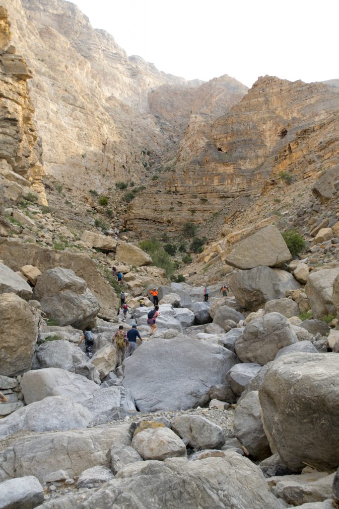
Beginner Level (Part one of complete Hike)
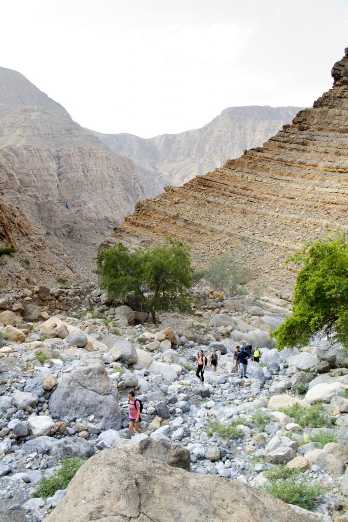
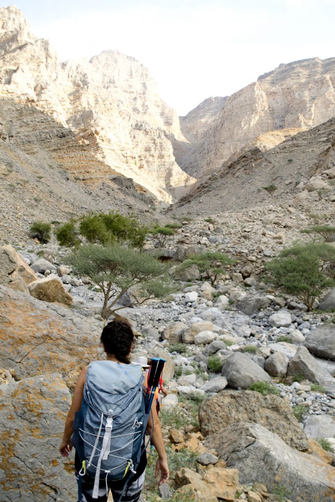
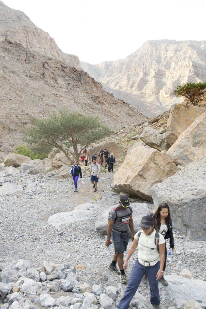
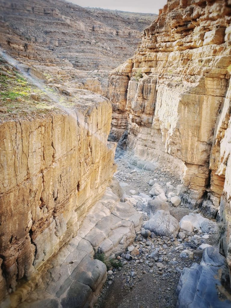
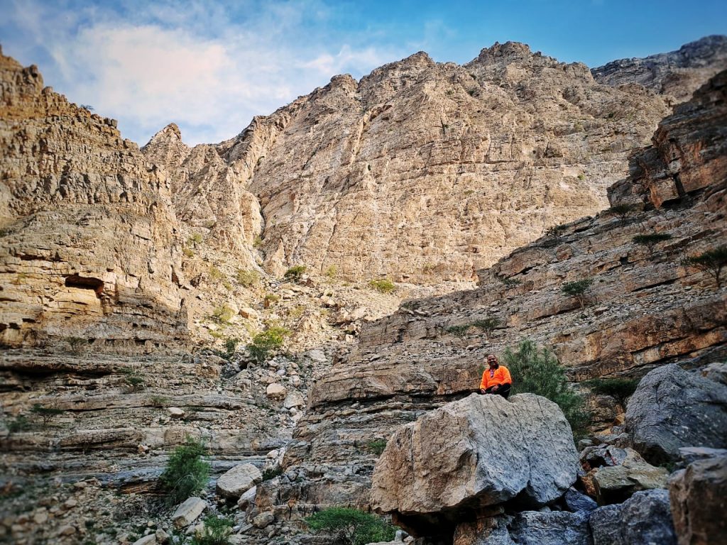
This hike is mostly boulder stepping, there is no path visible.
A few settlements at the beginning but, apart from a few goats, you will be completely alone for the rest of the hike.
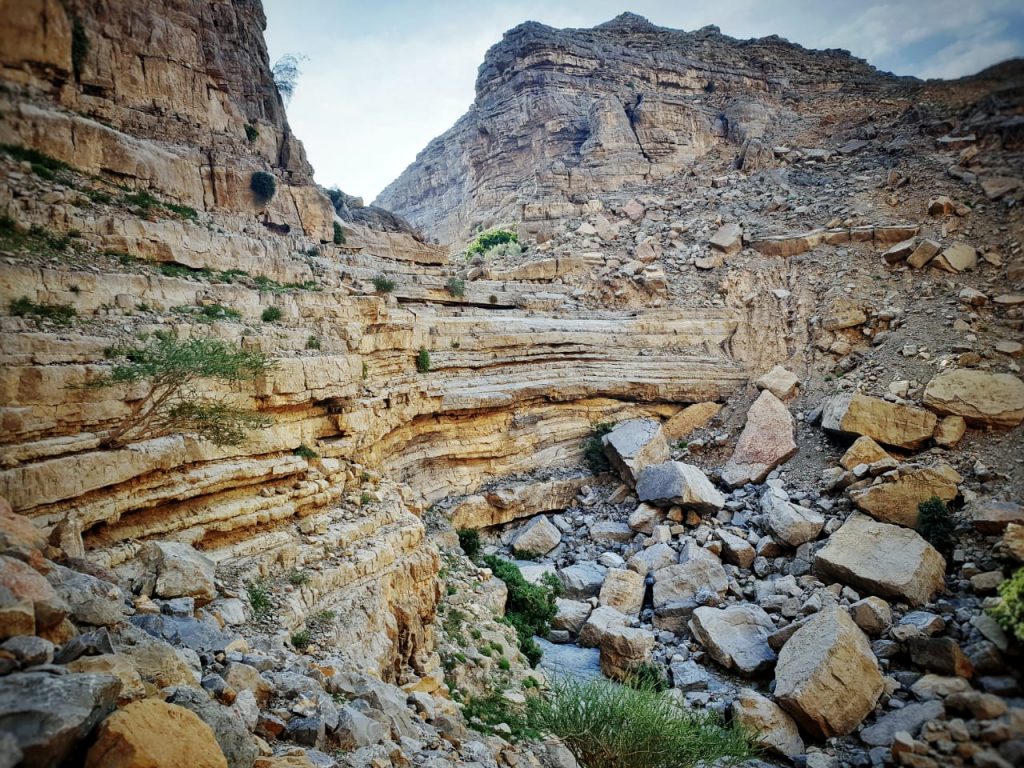
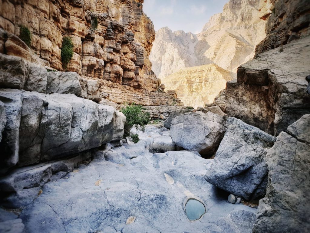
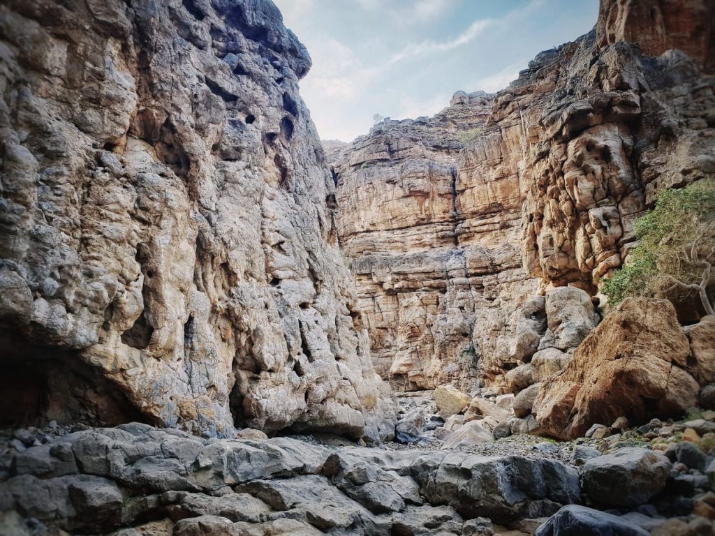
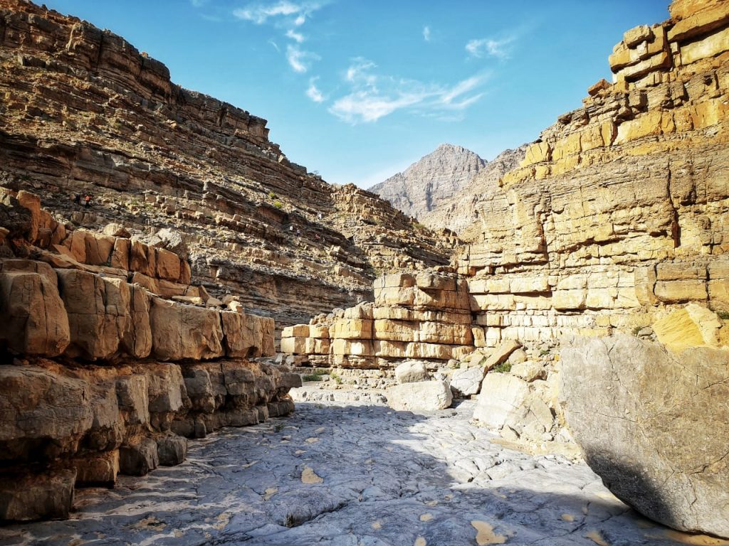
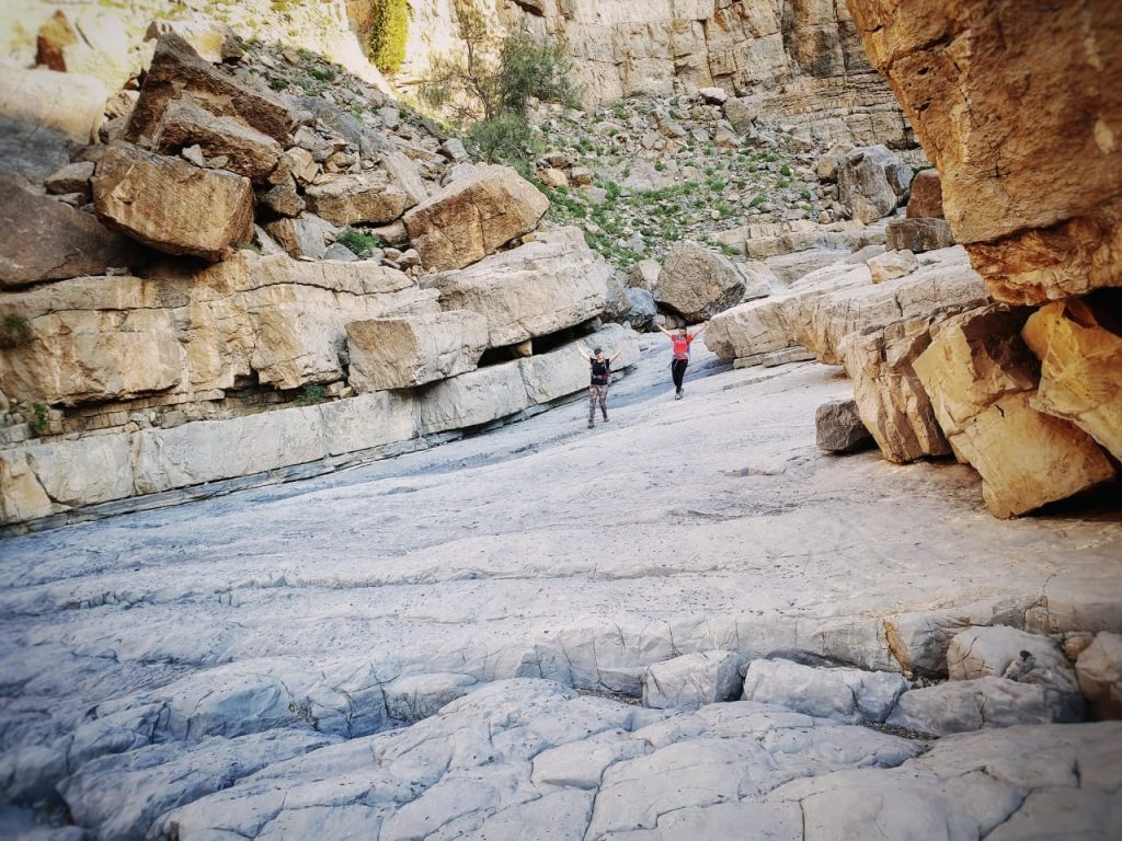
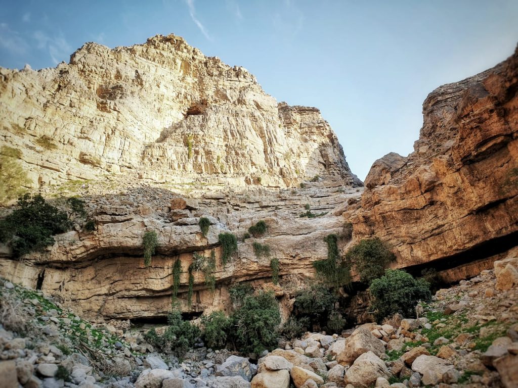
Apart from boulder stepping, there are a few treacherous screes, but in general, no dangerous or deep ravines. There are a few lovely plateaus with amzing pools (with water after the rains).
Along the trek, you will notice amazing shelters, made from dry stones, wood and palm leaves. All abandoned now.
Direction & Coordinates
On the Jebel Jais road:
– Take right at: N25 47 06.89 E56 04 28.37 (elevation 559m). Follow this road through Wadi Qada’a until you reach
– Parking and Start point of hike: N25 45 11.45 E56 08 01.75 (elevation 334m). Follow the wadi and take right at the fork:
– N25 45 38.55 E56 08 28.25 (elevation 446m). Follow the wadi until you reach an amazing
– Overhanging rock: N25 45 39.08 E56 08 45.42 (elevation 567m); take left at this rock and climb over the scree to:
– Plateau: N25 45 35.33 E56 08 48.13 (elevation 624m)
– Return point of our hike: N25 45 12.75 E56 09 00.04 (elevation 764m)
Total height gain is 430m.
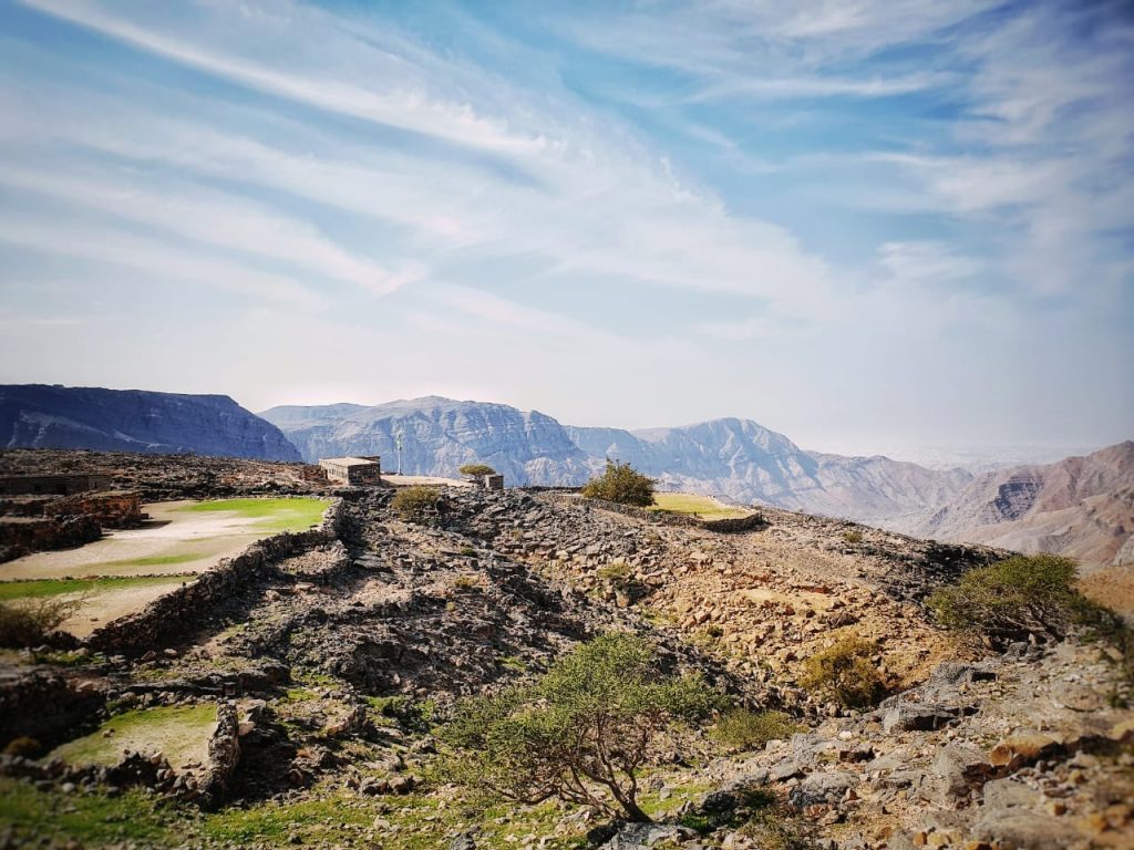
If you are fit enough, you can make this hike longer and even make a loop. Go and explore the terraced fields which are not so far from our return point. Or follow the directions of our French fellow hikers through this link.
- Great views
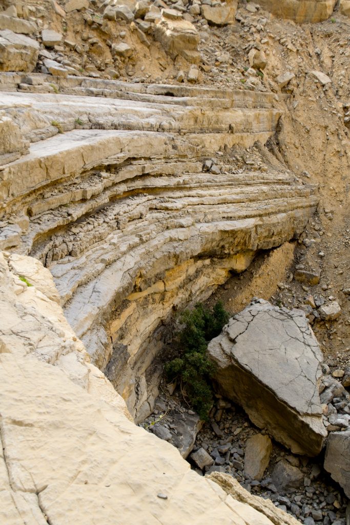
- Stunning dry walls
- Terraced fields
- Goats
- Beautiful manmade shelters built in crevices
- Ancient “Tanoor” (a clay oven)
- Amazing plateaus and pools
- Some beautiful Sidr trees
- Dripping water at one point
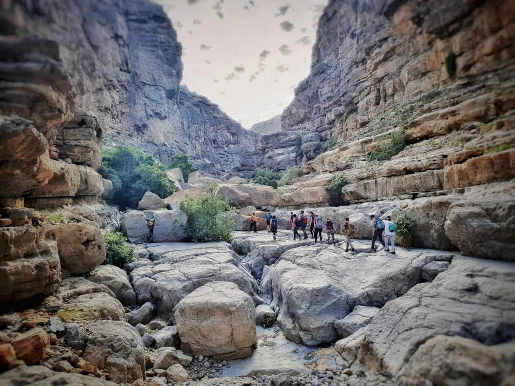
Moderate Level Starts here / Beginner level ends here

I have embeded the Wikiloc route from one of my fellow hiker. Unfortunatly my battery was running out and could not keep up.
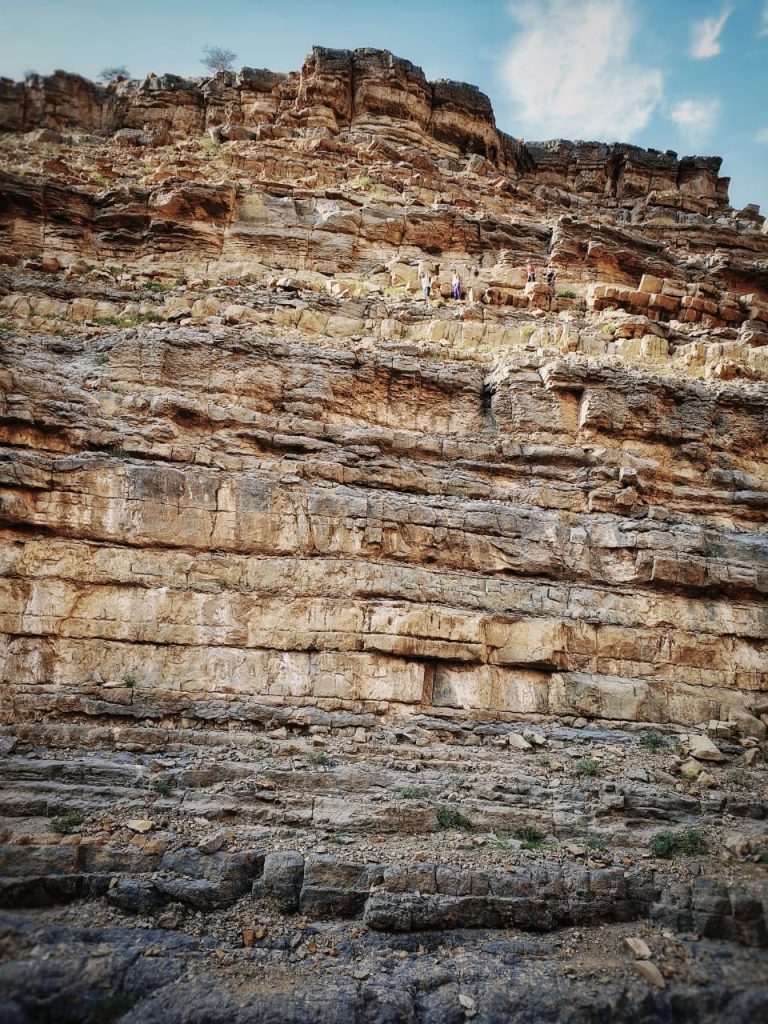
The route from the where i mentioned as the return point, you can continue through the narrow valley where you will need to have go through a bit of bouldring and climbing. once you reach the next junction where the valley split into two you take the right one.
Your destination is to reach the village on the top of the mountain on your right. Your way back will be on the same route where you went up.
This is the complete trail in wikiloc which was recorded by
![]()