Stairway to Heaven is the one of the best and Difficult hikes in the trails of mountains in the UAE. It is located in Wadi Ghalila of Ras al Khaima and it is very near to the Oman borders. This trail is running through the mountains of Jebel jais and it is very famous within the hiking community of UAE. The total elevation gain is 1800 meters and total distance for the complete loop is 20 KMs. If you are new or experienced hiker, we recommmend this trail to be done always with a guide.
Stairway to Heaven has been known for its dangerous route before. however, this is not the case anymore. A lot of development is in progress by the tourism department and now you can see proper tails through out the trails. Still the hikers need to be very careful as the cliff are very steep and there might be loose rocks. if you fall down that will be the end of your hiking career.
Even though this is a full loop hike, you can go to the village on the top through the right bank alone and come back in the same route. It is considerably less difficult compared to the stairs on the right bank. If you want to test your fitness level before committing to the full loop, we recommend to the right bank first and then go for the full loop next.
Things to pack
For this you need to be well prepared and it might take a full day if you are beginner to long distance hiking.
List of mandatory items.
- Proper hiking shoe.
- Drinking water 4 Liter
- Packed Lunch.
- Power snacks and chocolate bars.
- Sugar drink / electrolyte drinks as per your body.
- Sunhat / bandana
- UV sunglass
- First aid kit
- Headlamp
- Lighter
- Safety blanket
Consider these items as mandatory for this hike.
We have a comprehensive list of items you may require in general. You can follow these as a reference guide and see what you need additional to the above mentioned list. Always pack you bag light. you don’t want to carry all the weight through out the hike.
Stairway to Heaven trails route
The parking.
Start the travel as early as possible. The parking location is next the wadi ghalila dam. Location map is attached below.
You can park your car in the Dam parkign area. if you have a 4×4 you might be able to go little more further till the farm house where the actual hike begins. The actual hike start from this location next to the farm. If you have sedan car, we do not recommended to go further than the Dam parking area.
Hike starting point.
The walk
The trail on the left is pretty difficult and you need very strong legs and very good stamina. We always recommend you to do this route an experience guide. Do not try this alone. You will be in trouble. Once you take the left side, the trail becomes harder and difficult to navigate. GPS are unreliable as the trail is going straight up and not in a straight line.
The first part of the hike until you reach the junction where the right bank and the left bank is diverted. If it’s your first time hiking Stairway to heaven, follow the trail which is always on the right side of the wadi know as the right bank which is less difficult and less dangerous.
The broken boulder
Head towards the left to get up the wadi side onto the scree-slope. Few 100 meters you should arrive at some huge boulders. One square shaped block with a large clean crack down the middle with the two halves slightly fallen apart. Look like somebody cracked the block into two pieces. This is a very good reference point to note down and can be seen from all points along the trail.
Keep heading up here until you meet the cliffs at the top, and follow them around the right, heading up a narrow point at the top of the slopes, where you can rest under the overhanging cliffs. This is the start of the famous stairway section of the trail.
The Stairs
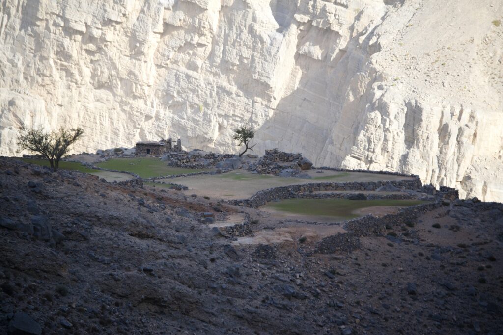
From the top of the ledge, follow the ledge to the left. After a short traverse the first stairway section will come. With 2 drystone step sections leading in the same direction as before, climbing up a little higher. Scramble up a short section and continue again in the same general direction. If in doubt stick to the rock wall on your right, with edges to your left. This is the stairways, with section after section of stone stair work. This is exposed but easy with plenty to hold onto and step on. The section after this however is the hardest and most risky with a thin traverse, high exposure and less to hold. This finishes off with a small tree. When you reach this, turn left and go up for a minute or two up onto the plateau where small farms are Located. Good resting point with absolutely stunning views, going as far as Iran.
The Horizon view walk to summit
Going back down through the same way is more dangerous than climbing back up. As you are finished only 25% of the way round the loop. You might have used up considerable amount of time. But the difficult part is over. With the cliff to your right and village to your left, the peak ahead of you is where you need to go. It looks like a short distance, but it is very far so keep moving as much as possible. From the top of stairway head right along the flat land. When the track hits the junction at the end keep walking straight and head straight up the mountain ahead. From here to summit is usually 1-1.5 hours. Usually you arrive at the ridge line north of the submit, take a right and head to the peak for another good rest spot at the summit.
The summit to Voh village
Keep same elevation continue to the Voh Village. You will see the villages appear down the hill side in front of you, which historically are the homes for the Shihu tribe. Once at the village, you meet a worn path taking you to the farm at the far tip of the plateau.
The descent
the trail from the Voh village to the Wadi back to the parking area is pretty well developed with stone pavement now. You will get nice sitting areas at each 1 kilometer distance. The descent will be pretty difficult with your worn out leg muscles. So be gentle and take your head lamp ready. there is no way you can get lost in this trail. You will see yellow marker on the stones all the way down the descent. Just follow the trail and you be back to the farm where you started the hike.
Here I found a good wikiloc for you to follow by Ben Robbins. You can just follow this. This trail is actually crossing the border, so be careful. if you get caught with border patrol from Oman, you will spend two days in their facilities eating Omani dishes.
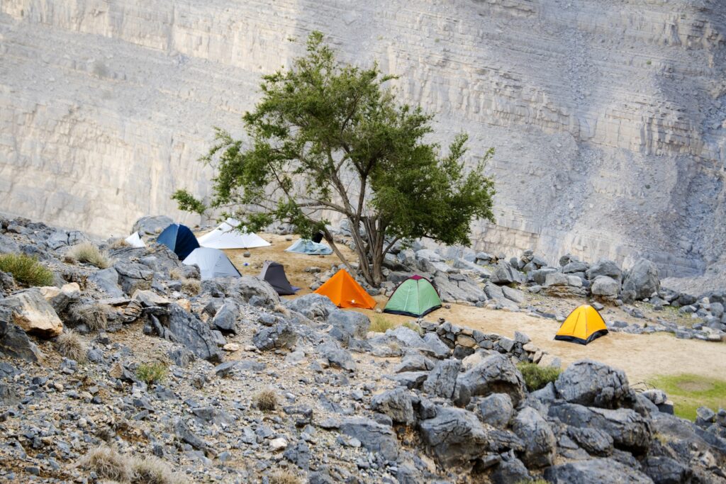
We are doing this trail once in w while. But we need to be properly prepared and planned. So if you are interested Kindly let us know. This will be a guided tour, but will be done only after proper fitness test and endurance test. If you interested let us know through contact us form. We will be in touch with you.
![]()